What is recorded here
Situated on an E-facing slope overlooking the W-E Blackwater River to the N, and attached to the S of Lismore Castle (WA021-019001-). It slopes down in a number of terraces to the S-N valley between the castle and Lismore Cathedral (WA021--019003-). The walled garden (dims. c. 100m N-S; c. 150m E-W) was laid out in 1626 and its walls are still intact (T c. 0.75m; H c. 3.5m). There are towers at the NW and SW angles, each featuring musket loops and wall-walks, and there is an elaborate gateway (WA021-019021-) at the SE angle that leads to the gateway of the castle (WA021-019001-). (Bradley et al. 1989, vol. 1, 80-1).
Bradley, J., Halpin, A. and King, H. (1989) Urban archaeology Survey of Waterford City and County, 2 vols. Unpublished report commissioned by the Office of Public Works.
Compiled by: Michael Moore
Date of upload: 21 March 2011
The monument record does not grant public access. Check the route and ask the landowner before entering private land.
- What survives
- Recorded monument
Places near here
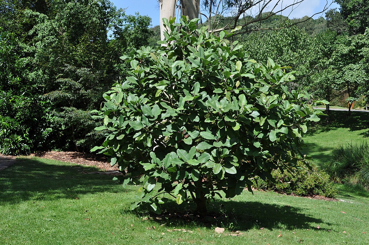 Delavay's magnoliaDelavay's magnolia · 84 yd
 fountainfountain · 129 yd
 Holy well in Lismore (coshmore and Coshbride By.)Holy well · 146 yd
 European YewEuropean Yew · 164 yd
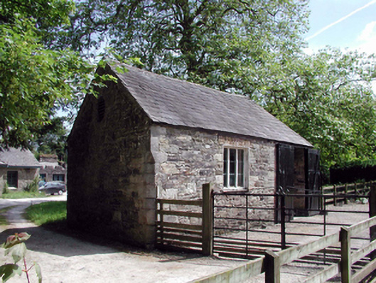 Lismore CastleOfficially recorded historic building · 175 yd
 St. Carthaghs WellHoly well · 195 yd
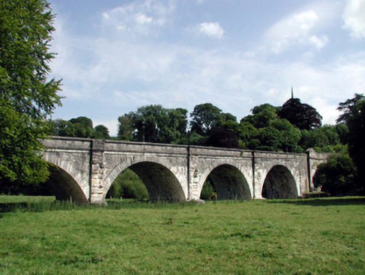 Lismore Bridgebridge · 231 yd
 Ambrose Power MemorialMemorial · 336 yd
 Lady Louisa's WalkWalking route · 383 yd
 Cottage IslandIslet · 427 yd
 LismoreMemorial · 1020 yd
 Ballysaggartmore TowersHeritage attraction · 1.8 mi