What is recorded here
Indicated is a scarped fairy fort on a Limerick ridge, its steep oval edge dressed in stone like the surrounding fields. The south face hides a blocked lintelled recess pointing at the old track, suggesting the ring still watches the path even when empty. Trees shadow the flat interior now, but the shape preserves the exact moment human hands stopped and legend took over.
In pasture, atop low ridge. Oval area (34.9m N-S; 26.6m E-W) defined by scarped edge (H 2.6m; Wth 3.2m) which grades to earthen bank (int. H 0.75m) SW->W and N->ENE. Scarp has near-vertical face which has been faced with stones in fashion of surrounding field boundaries. Facing rises into low wall (int. H 0.4m) atop scarp E->SE. Entrance at SW where there is a gap in scarp (Wth 4.4m) and gradual slope (H 0.65m; Wth 5.45m) up into interior from field level. There is a kink in scarp face at S which contains a blocked-up lintelled recess (H 0.9m; Wth 0.5m, D 0.8m). This faces trackway which skirts enclosure SE->SW but exact nature of recess is unclear. Level interior is covered by trees some of which have fallen. There is a dump of tree stumps and earth along verge at W.
Compiled by: Denis Power
Date of upload: 26 August 2011
The monument record does not grant public access. Check the route and ask the landowner before entering private land.
- What survives
- Recorded monument
Places near here
 Fulacht fia in BaunreaghFulacht fia · 550 yd
 Ballycullen Housecountry house · 795 yd
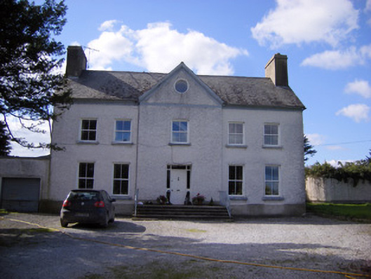 Bettyville housecountry house · 863 yd
 Lismakeery Castle (in ruins)Castle, tower house · 968 yd
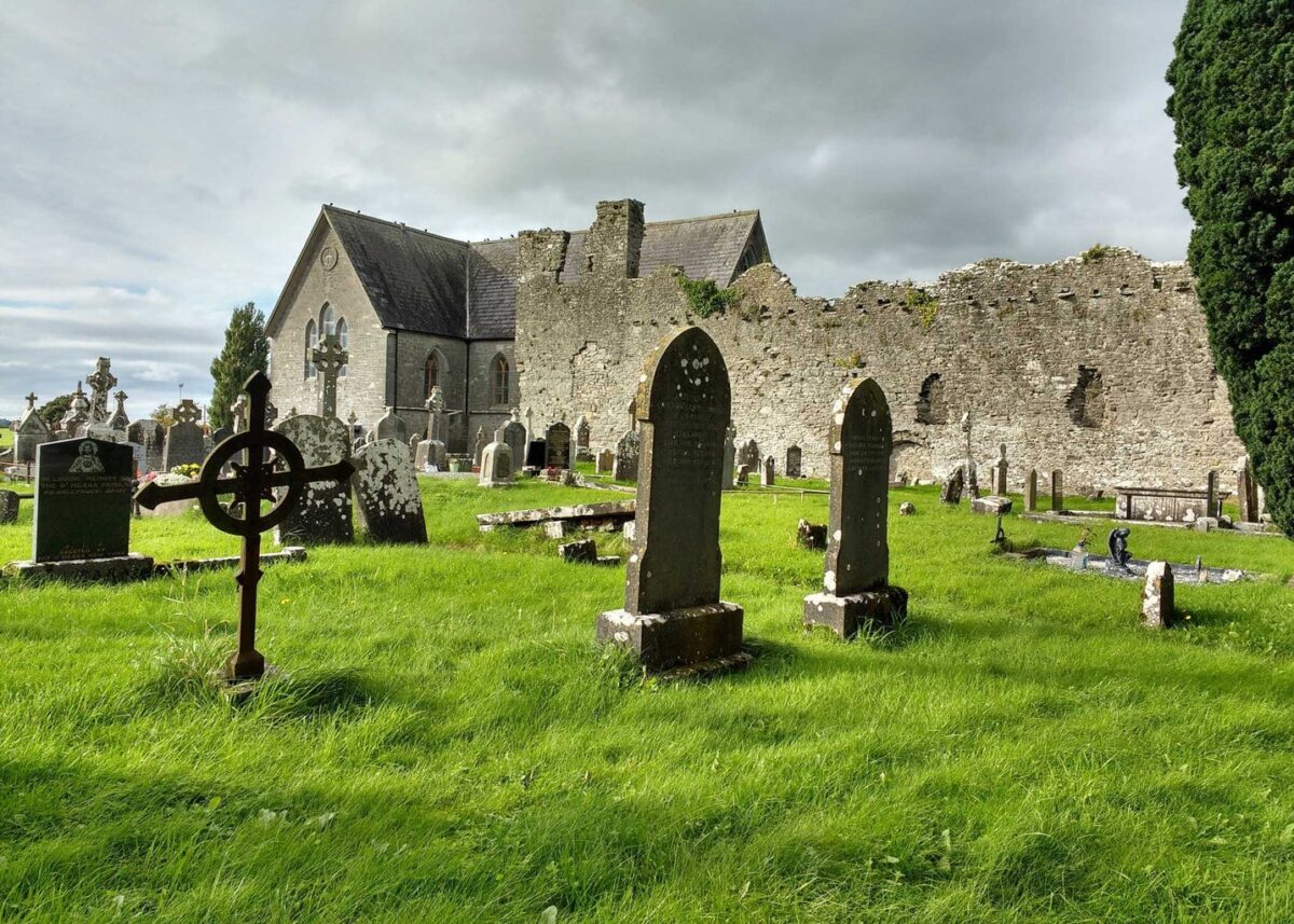 Grave YardGraveyard · 1092 yd
 Milltown Castle (in ruins)Castle, tower house · 1.3 mi
 Askeaton CastleHeritage attraction · 1.5 mi
 Holly IslandIslet · 2.4 mi
 Herring RockNamed rock · 4.2 mi
 Tummera LittleIslet · 4.3 mi
 TobernablahySpring · 4.6 mi
 Aughinish PointHeadland · 4.6 mi