What is recorded here
Indicated is a worn fairy fort in County Limerick, a shallow circular bank beside a river valley where the earth still marks an old boundary. It sits below a ridge brow, partly hidden by grass and overgrowth, with stones exposed where erosion has bitten through the soil. The shape is small enough to walk across in a breath, yet it has watched the valley change for generations. People may have lived there, feared it, or simply passed it by; the land kept the circle either way.
In rough pasture, on W-facing slope into river valley, immediately below brow of ridge. Circular area (31m N-S; 30m E-W) enclosed by earth-and-stone bank (int. H 0.4m; ext. H 1.05m) best preserved ENE->SE. Bank, which is much eroded, has been stone faced to match adjoining field walls at NW and SE. Parts of enclosing element and interior covered by overgrowth, otherwise level interior is under pasture. Site occupies NE corner of paddock associated with ruinous farmhouse to S.
Compiled by: Denis Power
Date of upload: 26 August 2011
The monument record does not grant public access. Check the route and ask the landowner before entering private land.
- What survives
- Recorded monument
Places near here
 Lismakeery Castle (in ruins)Castle, tower house · 825 yd
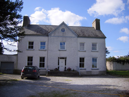 Bettyville housecountry house · 849 yd
 Fulacht fia in LismakeeryFulacht fia · 982 yd
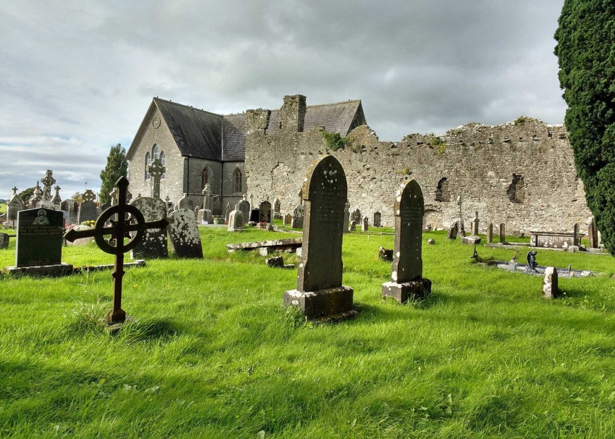 Grave YardGraveyard · 1133 yd
 Lismakeery Church (in ruins)Church · 1141 yd
 Milltown Castle (in ruins)Castle, tower house · 1.4 mi
 Askeaton CastleHeritage attraction · 2.2 mi
 Holly IslandIslet · 3.0 mi
 TobernablahySpring · 4.0 mi
 St. Kieran's WellSpring · 4.2 mi
 Tummera LittleIslet · 4.7 mi
 Herring RockNamed rock · 4.7 mi