What is recorded here
On a low-lying, level landscape. Rectangular grass-covered area (dims 23.7m E-W; c. 20m N-S) defined by earthen banks (Wth 3-3.5m; int. H 0.6-0.8m; ext. H 0.9-1.2m), but the bank at N has been removed. There is no visible fosse although it did have one (Wth 4m) at W (Timoney 1990, 15; 1993, 20), and the entrance (Wth 1m) is at the S end of the W bank.
Compiled by: Michael Moore
Date of upload: 24 August 2010
This remains an important historical record, but the official description says the monument is no longer visible or has been destroyed. The monument record does not grant public access. Check the route and ask the landowner before entering private land.
- What survives
- No visible remains or recorded as destroyed
Places near here
 Emlagh WellHoly well · 412 yd
 Church in Emlagh (castlereagh By., Castlereagh Ed)Church · 512 yd
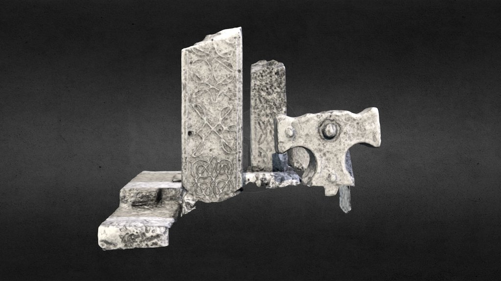 Emlagh CrossCross · 534 yd
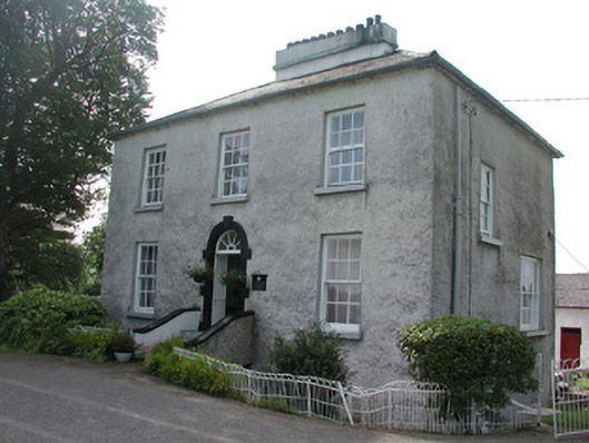 Longford Houserectory/glebe/vicarage/curate's house · 1084 yd
 Silver IslandIslet · 1.1 mi
 Workhouse MemorialMemorial · 1.3 mi
 Castlereagh HouseCastle, unclassified · 1.8 mi
 CastleCastle, Anglo-Norman masonry castle · 2.6 mi
 Clonalis HouseMuseum · 3.2 mi
 Coolougher WoodForest · 4.0 mi
 Site of Killomaine Grave YardArchaeological place · 6.6 mi
 Rook HillMountain / peak · 7.0 mi