What is recorded here
Almost completely levelled. Marked 'Fort' on OS 1836 and 1876 eds. and known as same within the locality. Situated on the summit of a drumlin hill. All that survives is a much-denuded raised area (H 1.5m) defined by a low scarp from S-SW.
The above description is derived from the published 'Archaeological Inventory of County Cavan' (Dublin: Stationery Office, 1995). In certain instances the entries have been revised and updated in the light of recent research.
Date of upload/revision: 22 December 2008
The monument record does not grant public access. Check the route and ask the landowner before entering private land.
- What survives
- Recorded monument
Places near here
 Giant's GraveArchaeological place · 791 yd
 Giant GraveCourt tomb · 803 yd
 AghagashlanMountain / peak · 1020 yd
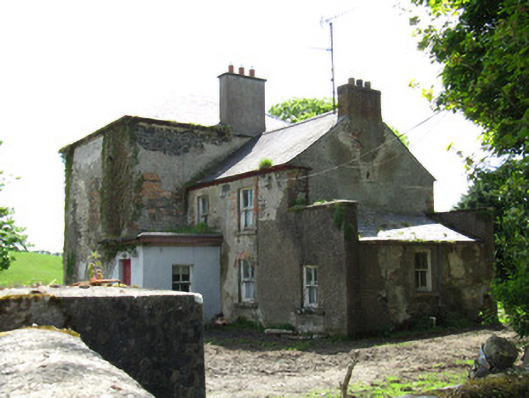 Farmoyle Househouse · 1.1 mi
 Annsfort MillsWood · 1.2 mi
 Lisnagoon Bridgebridge · 1.2 mi
 Ann's FortArchaeological place · 1.3 mi
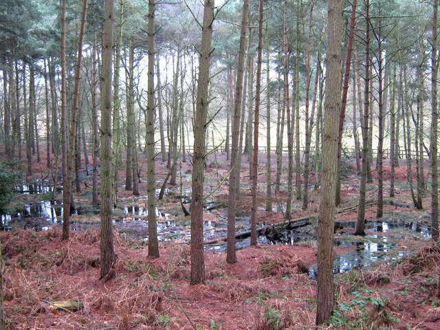 Lisdoagh Wet WoodlandWood · 1.8 mi
 Graveyard in Drumgoon (clankee By.)Graveyard · 2.1 mi
 Diamond HillMountain / peak · 3.3 mi
 CastleCastle, unclassified · 3.4 mi
 Gull IslandIslet · 5.3 mi