What is recorded here
Indicated is a circular earthen ringfort in West Cork pasture, holding a shallow external ditch and three cattle gaps that admit herds rather than people. Its north interior rises to compensate for the falling slope, shaping an oval space where livestock still move freely. The fort has stopped being a human boundary and become a living marker, its bank and ditch reduced to a gentle ripple in the field.
In pasture, on N-facing slope. Circular area (32.5m N-S; 34.5m E-W) enclosed by earthen bank (H 1.9m); shallow external fosse (D 0.3m). Cattle gaps to N, E and W. Interior raised on N side to compensate for hillslope.
The above description is derived from the published 'Archaeological Inventory of County Cork. Volume 1: West Cork' (Dublin: Stationery Office, 1992). In certain instances the entries have been revised and updated in the light of recent research.
Date of upload/revision: 14 January 2009
The monument record does not grant public access. Check the route and ask the landowner before entering private land.
- What survives
- Recorded monument
Places near here
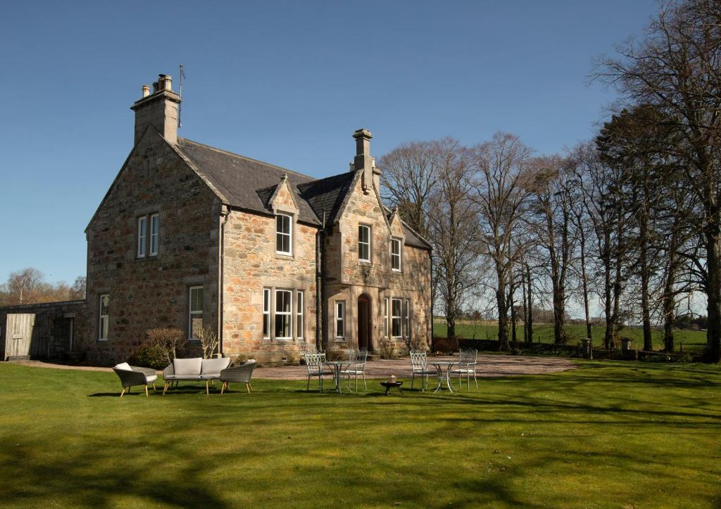 Country house in Letter (carbery East (w.d) By.)Country house · 237 yd
 Burnt spread in Letter (carbery East (w.d) By.)Burnt spread · 348 yd
 Boulder-burial in Letter (carbery East (w.d) By.)Boulder-burial · 378 yd
 Country house in BohonaCountry house · 1.5 mi
 Castle (Site of)Castle, unclassified · 1.6 mi
 Clasharusheen Mansion (Site of)Castle, unclassified · 1.9 mi
 Battle of the Big Cross (1798) Memorial MonumentMonument · 2.4 mi
 Clonakilty Blackpudding Visitor CentreHeritage attraction · 2.7 mi
 Cloch na gCoillteMemorial · 2.9 mi
 Michael Collins House MuseumMuseum · 2.9 mi
 Clonakilty Tourist OfficeVisitor information · 3.0 mi
 Corran HillMountain / peak · 3.3 mi