What is recorded here
Listed as ‘Enclosure, possible’ in the SMR (1992) and the RMP (1996) as it was hachured on the 1916 OS 6-inch map. However, it is hachured on the OS 25-inch map and named ‘Quarry (disused)’. This was confirmed on inspection in 2000.
Compiled by: Mary Tunney
Date of upload: 18 November 2014
The monument record does not grant public access. Check the route and ask the landowner before entering private land.
- What survives
- Recorded monument
Places near here
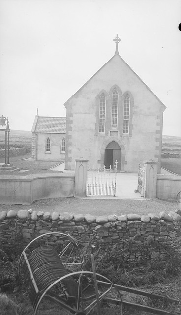 Enclosure in RushaunEnclosure · 445 yd
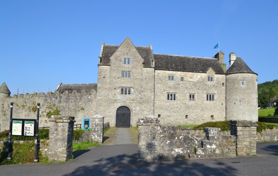 Enclosure in LeckaunEnclosure · 1186 yd
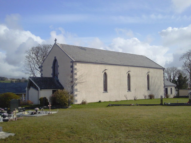 Saint Joseph's Catholic Churchchurch/chapel · 1485 yd
 CastleCastle, unclassified · 1.1 mi
 Shallee Castle (in Ruins)Castle, tower house · 1.7 mi
 Bushypark Househouse · 2.5 mi
 Poul na gollorCave · 3.4 mi
 European ashEuropean ash · 3.7 mi
 Post Office FieldNature reserve · 4.9 mi
 Alice and Gwendoline CaveMuseum · 5.0 mi
 Ennis AbbeyMuseum · 5.0 mi
 Clare MuseumMuseum · 5.1 mi