What is recorded here
On a ridge in grassland. Poorly preserved subcircular rath (E-W 39m, N-S 33.5m) defined by a low bank, overlain from S through W to NW by a field bank. Possible external fosse survivesoutside the field bank at SW. The interior has been disturbed by the uprooting of trees.
The above description is derived from the published 'Archaeological Inventory of County Galway Vol. II - North Galway'. Compiled by Olive Alcock, Kathy de hÓra and Paul Gosling (Dublin: Stationery Office, 1999).
Date of upload: 05 August 2010
The monument record does not grant public access. Check the route and ask the landowner before entering private land.
- What survives
- Recorded monument
Places near here
 Holy WellHoly well · 1609 yd
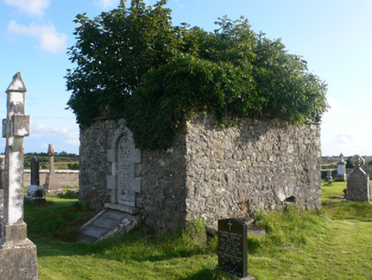 mausoleummausoleum · 1.0 mi
 Derrynabuie Househouse · 1.1 mi
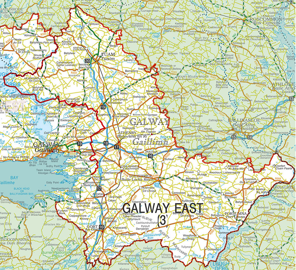 IndicatedEnclosure · 2.2 mi
 Claddagh Castle (in ruins)Castle, tower house · 2.2 mi
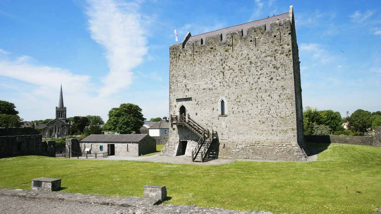 Lerhin CastleCastle · 2.2 mi
 HawthornHawthorn · 4.8 mi
 Knockmoy AbbeyHeritage attraction · 7.9 mi
 Menlough IRAMemorial · 8.9 mi
 Cloonavihony WoodForest · 9.1 mi
 Site of Killomaine Grave YardArchaeological place · 11 mi
 Mass RockNamed rock · 12 mi