What is recorded here
Laragh bawn is a D-shaped earthwork beside a McGeoghegan tower in County Westmeath, its triangular SE corner still visible in pasture. The public road cuts across the north, but the low bank and outer scarp remain strong enough to show where the enclosure once stood. It may have begun as a ringfort before becoming the defensive bawn of Laragh Castle, a place where observation and residence shared the same ridge.
Situated on a small, low ridge running N-S, in pasture, with good views in all directions. The remains of Laragh Castle (WM031-057001-) are visible in the NW quadrant. Depicted on the 1837 ed. OS 6-inch map as a triangular-shaped earthwork with pointed top forming the SE corner. Shown on the 1910 ed. OS 25-inch map as a subcircular-shaped earthwork (approx. dims. 34m NE-SW; 28m NW-SE) which is cut by the public road across the N sector.
Monument described in 1980 as a roughly circular-shaped earthwork enclosed by the remains of a low bank best preserved from WSW-W-WNW. A field bank running NW-SE cuts close to the perimeter of the earthwork at SW and the public road cuts the N sector. A low mound of stones lies near the base of the bank at E. There is an enclosure at the base of the bank at S. There is an outer scarp at SE and S and this continues as an outer fosse at W. The ground is disturbed to E and S of the earthwork. There are faint traces of a low scarp running to SSW from the bank at SE, which may have formed the E side of the triangular-shaped enclosure/earthwork shown on the 1837 ed. OS 6-inch map. This may have been a ringfort that was reused as a bailey or bawn of Laragh Castle. Monument is visible today as a partially tree-lined circular-shaped earthwork with triangular-shaped bastion type feature attached to SE on Digital Globe aerial photography.
Laragh Castle (WM031-057001-) and bawn described by Salter (2004, 151) as following; 'A D-shaped bawn platform 28m across extends 20m to the south of the two storey high 12m long south wall 1.8m thick of a McGeoghegan tower beside a public road'.
Compiled by Alison McQueen, Vera Rahilly and Caimin O’Brien.
Date of upload: 21 November 2019
Laragh Castle was likely built in the 17th or 18th century by a local landholding family, though specific builders remain unidentified. It is remembered for its strategic position on a prominent ridge, offering extensive views and serving as a local landmark in the Laragh area.
The monument record does not grant public access. Check the route and ask the landowner before entering private land.
- What survives
- Recorded monument
Places near here
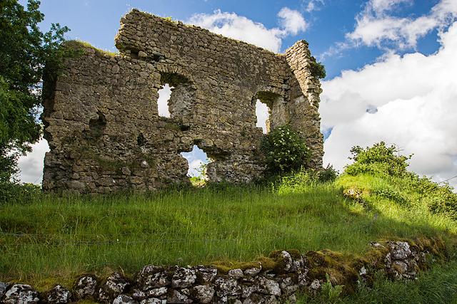 Laragh CastleCastle · 18 yd
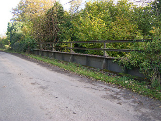 bridgebridge · 612 yd
 Partially indicatedEnclosure · 1540 yd
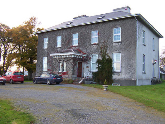 Streamstown Housecountry house · 1.1 mi
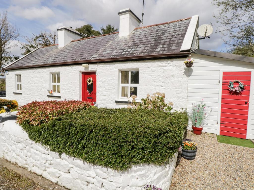 OutlinedFairy fort / earthen ringfort · 1.2 mi
 Syonan CastleCastle · 1.3 mi
 KnockastiaMountain / peak · 1.6 mi
 Japanese pagoda treeJapanese pagoda tree · 2.1 mi
 Kilmalady HillMountain / peak · 3.4 mi
 ToberaskeenSpring · 4.8 mi
 Charles BianconiMemorial · 5.2 mi
 The Bob Traynor GalleryGallery · 5.3 mi