What is recorded here
Indicated is a broken fairy fort in County Offaly, its earth bank reduced to a pale ridge beside modern field drains. It sits on a low rise above wet flat land, suggesting people valued the slight dry ground more than grandeur. The missing entrance and cut boundaries deny it a complete shape, yet that refusal makes the circle easier to remember.
Situated on a low natural rise above the surrounding flat poorly drained soils. Roughly circular area(diam. 26.5m E-W) enclosed by a poorly preserved earth and
stone bank (Wth 2.3m; ext.H. 0.9m) and possible outer fosse which is badly damaged on all sides by field boundaries and modern drains, with no evidence of an entrance feature. Field boundaries intersect the site at S and W destroying the outer fosse
with a semi circular field drain attached to SW side of site. This semi-circular area
is a result of field drainage which raises the land above the surrounding poor land and is not an annexe to the site.
The above description is derived from the published 'Archaeological Inventory of County Offaly' (Dublin: Stationery Office, 1997). In certain instances the entries have been revised and updated in the light of recent research.
Date of upload: 23 May 2011
The monument record does not grant public access. Check the route and ask the landowner before entering private land.
- What survives
- Recorded monument
Places near here
 IndicatedFairy fort / earthen ringfort · 274 yd
 Enclosure in Glebe (garrycastle By., Clonmacnoise Ed)Enclosure · 1060 yd
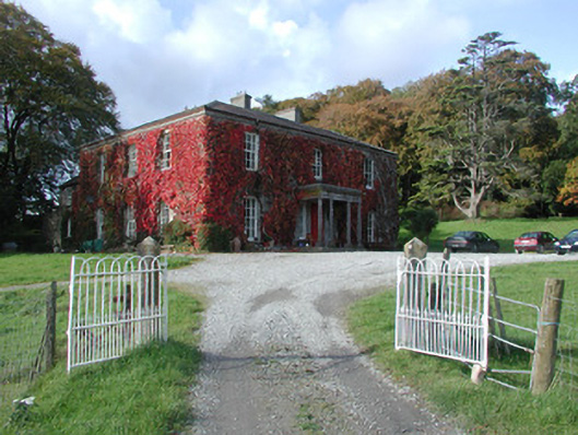 The Dooncountry house · 1149 yd
 Bawn in Lackagh MoreBawn · 1429 yd
 Esker CastleCastle, tower house · 1524 yd
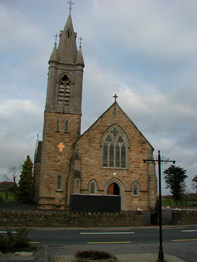 Saint Colmcille's Catholic Churchchurch/chapel · 1.4 mi
 European ashEuropean ash · 1.9 mi
 Endrim HillMountain / peak · 2.1 mi
 Ballylin Bog BoardwalkHeritage attraction · 3.5 mi
 Saint Reaghan's WellSpring · 4.2 mi
 Long IslandIsland · 4.4 mi
 Wren's IslandIslet · 6.2 mi