What is recorded here
Indicated is a collapsed stone ringfort in rough Mayo woodland, its twenty-six-metre circle marked by a low wall and a small hut site beside the western edge. The northern boundary has merged into a field fence, while the uneven interior still holds an outcrop and scattered clearance. The fort has lost its sharp human shape, but the stones remain arranged around a central space, waiting for someone to remember why they were lifted and set.
In very rough woodland, 100m N of canal. Circular area (diam. 26m N-S), enclosed by collapsed stone wall (Wth 1m; H 1.5m). N wall incorporated into surrounding field fence. Hut site (3m N-S; 2m E-W) adjoining inner face of W wall. Interior surface uneven, containing outcrop and clearance.
The above description has been derived from D. Lavelle (compiler), An Archaeological Survey of Ballinrobe and District including Lough Mask and Lough Carra. Lough Mask and Lough Carra Tourist Development Association (1994), No. 293.
Date of upload: 24 February 2014
The monument record does not grant public access. Check the route and ask the landowner before entering private land.
- What survives
- Recorded monument
Places near here
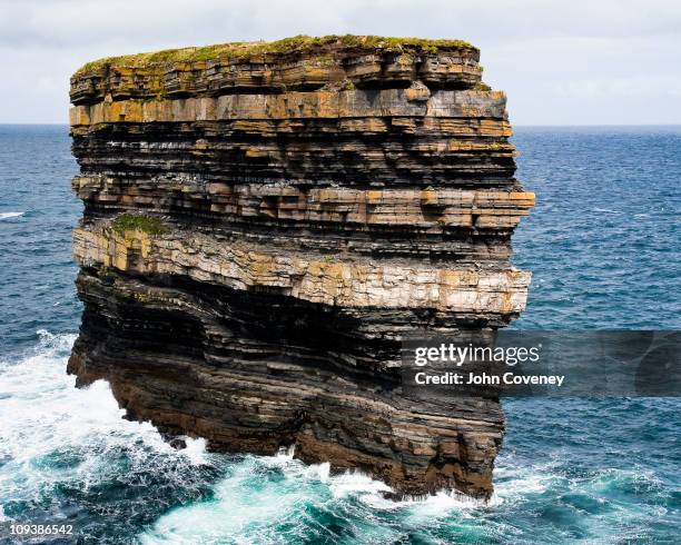 Long RockIslet · 587 yd
 IndicatedEnclosure · 601 yd
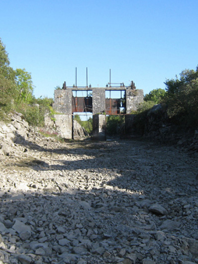 sluice/sluice gatesluice/sluice gate · 627 yd
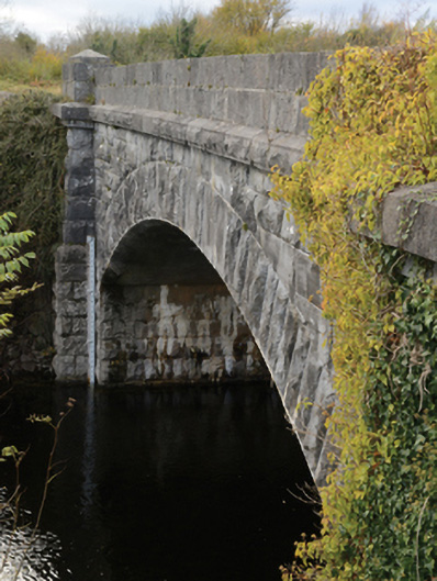 Carrownagower Bridgebridge · 944 yd
 Black IslandIslet · 1117 yd
 Loughmask Castle in ruinsCastle, tower house · 1225 yd
 Loughmask CastleCastle · 1229 yd
 CaherFairy fort / stone ringfort · 1511 yd
 Black RocksNamed rock · 2.4 mi
 Quiet Man MuseumMuseum · 2.6 mi
 LabbadermotCave · 2.6 mi
 Cong AbbeyHeritage attraction · 2.6 mi