What is recorded here
A rectangular islet is indicated on the 1838 OS 6-inch map at the narrow 'waist' of Toberscanavan Lough. The lake is now separated into two smaller lakes due to the lower water levels. The area in which the islet was situated is planted with trees and no visible remains of a crannog were identified.
The above description is derived from the published 'Archaeological Inventory of County Sligo' compiled by Ursula Egan, Elizabeth Byrne, Mary Sleeman with Sheila Ronan and Connie Murphy (Dublin Stationery Office, 2005).
Date of upload: 18 January 2008
The monument record does not grant public access. Check the route and ask the landowner before entering private land.
- What survives
- Recorded monument
Places near here
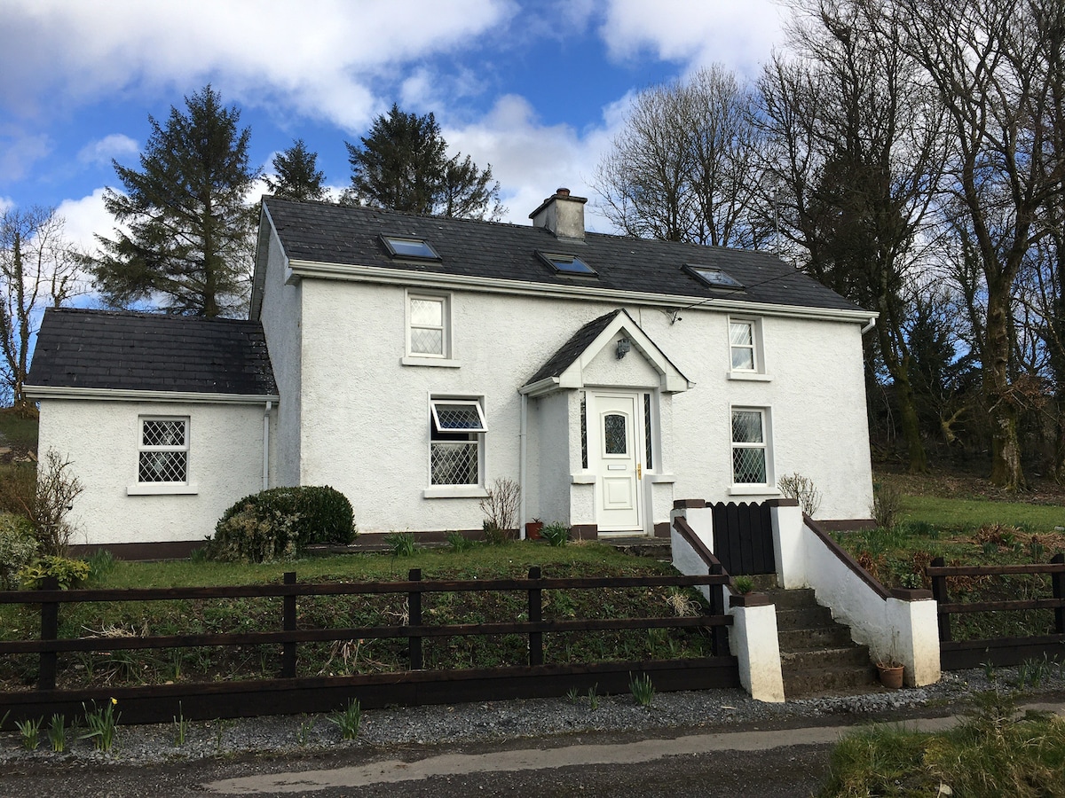 Enclosure in MullaghnabreenaEnclosure · 636 yd
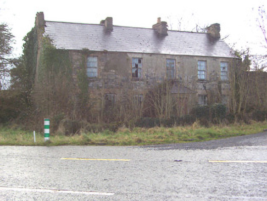 Toberscanavan Househouse · 708 yd
 Castle (Site of)Castle, unclassified · 1038 yd
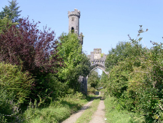 Markree Castlegate lodge · 1103 yd
 IndicatedFairy fort / earthen ringfort · 1376 yd
 European ashEuropean ash · 1.5 mi
 Field MapleField Maple · 1.6 mi
 CastleCastle, motte and bailey · 1.9 mi
 James MorrisonMemorial · 2.5 mi
 CroaghaunMountain / peak · 3.7 mi
 Giants GraveArchaeological place · 3.8 mi
 Tullaghan HillMountain / peak · 4.1 mi