What is recorded here
The OS Letters (1839) describe, 'In the Townland of Knockaliagain, i.e., the Hill of the Standing Stone, is a large rock reclining against a wall or ditch, measuring seven and a half feet [2.27m] in height over ground, two feet ten inches [0.87m] in breadth at bottom, one and a half feet [0.45m] at top and one foot [0.3m] in thickness' (O'Flanagan 1930, vol. 1, 267 (90)). O'Kelly (1969, 179) describes it as, 'The liagán, an uncarved and uninscribed land-stone column'.
Compiled by: Jean Farrelly
Date of upload: 1 June 2021
Likely dating to the Neolithic or Bronze Age, this standing stone may have had ceremonial or territorial significance. The name "Knockaliagain" suggests a long-standing local association with the stone, possibly linked to early agricultural or ritual practices.
The monument record does not grant public access. Check the route and ask the landowner before entering private land.
- What survives
- Recorded monument
Places near here
 HawthornHawthorn · 310 yd
 Bullaun stone in Kilmog OR RacecourseBullaun stone · 316 yd
 St. Patricks BushRitual site, holy tree/bush · 316 yd
 Jamie BroderickMemorial · 886 yd
 Castle BamfordCastle, tower house · 1517 yd
 The N76 Callan Road Realignment SchemeMemorial · 1.0 mi
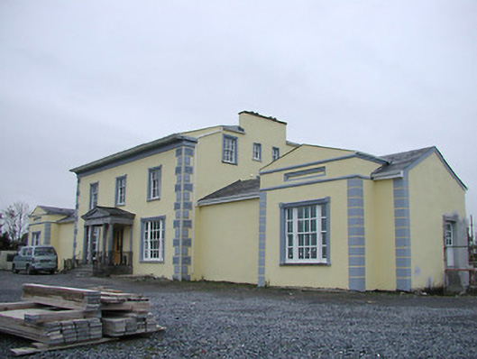 Tinnypark Househouse · 1.1 mi
 Saint Joseph's Catholic Churchchurch/chapel · 1.2 mi
 Castle (in ruins)Castle, unclassified · 1.4 mi
 Millennium WoodWood · 2.3 mi
 HedgerowVisitor information · 2.5 mi
 Burnchurch CastleVisitor information · 2.6 mi