What is recorded here
In an elevated position on the western end of a gravel ridge (Wth c. 2m; H c. 0.4m; long axis c. WNW-ESE) surrounded by level pasture with a land drain to the S. Enclosure (TS067-034---) located c. 180m to SE. Horseshoe-shaped area (dims c. 17m N-S; c. 12m E-W) defined by low earthen bank. Interior slopes downwards to S where it has been eroded from N downwards. The monument is possibly a mound which was partially quarried into at some stage.
Compiled by: Jean Farrelly
Date of upload: 26 August 2011
The monument record does not grant public access. Check the route and ask the landowner before entering private land.
- What survives
- Recorded monument
Places near here
 Enclosure in KnockfoboleEnclosure · 237 yd
 Dromline CastleCastle · 364 yd
 Enclosure in SpringhouseEnclosure · 746 yd
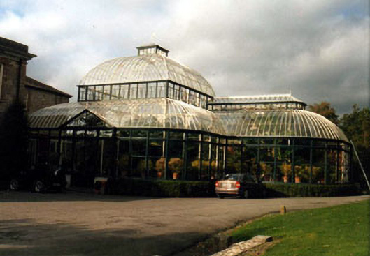 Kilshaneconservatory · 966 yd
 European ashEuropean ash · 1657 yd
 IndicatedBawn · 1658 yd
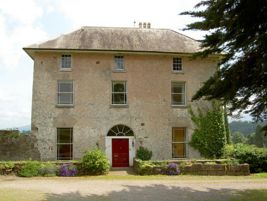 Cluen Househouse · 1695 yd
 Bansha ForestForest · 2.0 mi
 I.R.A. 3rd. Tipperary Brigade MemorialMemorial · 2.2 mi
 It's a long way to TippereryHeritage attraction · 2.8 mi
 The Maid of ErinMemorial · 2.9 mi
 The RockViewpoint · 3.5 mi