What is recorded here
Indicated is a broken ringfort on a Galway ridge, watching a turlough that may vanish and return like breath. Its bank still curls from east through south to west, while a shallow ditch and two small quarries mark the place where stones were taken or shape was made. A person may have stood there at dusk, measuring shadow across water that does not obey every season. The fort is small enough to walk in minutes, yet it keeps the ridge alive because it still asks who lived there and what they valued enough to carry stone uphill.
On a ridge in grassland overlooking a turlough. Poorly preserved subcircular ringfort (NNW-SSE 25.5m, NNE-SSW 22.2m) defined by a bank and external fosse. The bank is extant from ENE through S to WNW; elsewhere the td. boundary forms the enclosing element. The fosse survives from SSW to W. Immediately outside the bank at E and S are two small quarries.
The above description is derived from the published 'Archaeological Inventory of County Galway Vol. II - North Galway'. Compiled by Olive Alcock, Kathy de hÓra and Paul Gosling (Dublin: Stationery Office, 1999).
Date of upload: 05 August 2010
The monument record does not grant public access. Check the route and ask the landowner before entering private land.
- What survives
- Recorded monument
Places near here
 R.C. ChapelChurch · 264 yd
 Enclosure in Castlebin NorthEnclosure · 1138 yd
 IndicatedChurch · 1146 yd
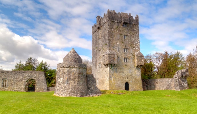 CastleCastle, unclassified · 1210 yd
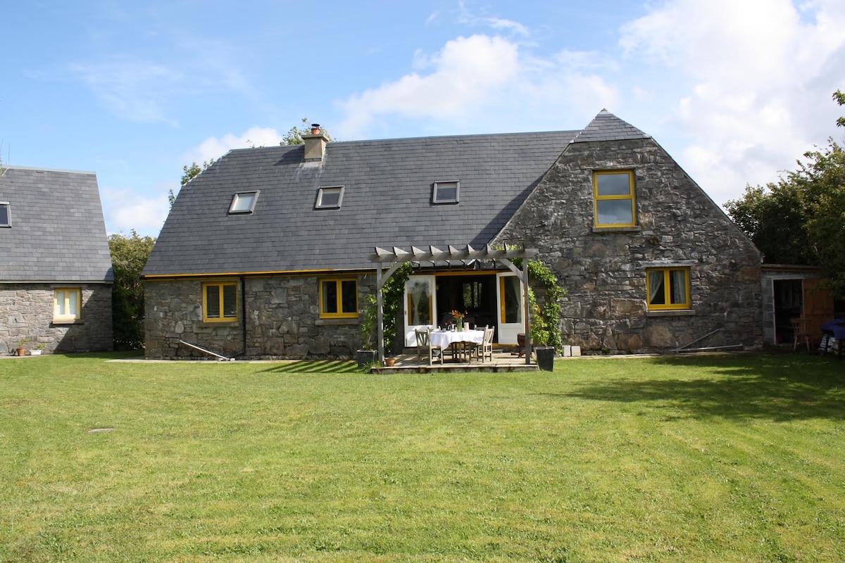 Killagh HouseFairy fort / ringfort · 1468 yd
 Site of Lisnamoltaun CastleCastle, unclassified · 1.8 mi
 Woodlawn WoodsForest · 2.1 mi
 Large-leaved LimeLarge-leaved Lime · 2.4 mi
 Turoe StoneHeritage attraction · 4.2 mi
 Kilconnell AbbeyHeritage attraction · 4.5 mi
 Battle of Aughrim Interpretative CentreMuseum · 7.2 mi
 Battle of AughrimMajor battlefield · 7.5 mi