What is recorded here
Partially destroyed Motte and Bailey located on an esker ridge running N/S in undulating countryside with church (OF036-028----) and river to the S. Steep sided flat topped mound (base diam 32m; top diam 13.7m; H 6.5m) which appears to have been scarped from the esker ridge at S side only thus making it steeper at this side. The destroyed rectangular shaped bailey was located to the N of the motte which was enclosed by an earthen bank now destroyed.
To see a 3D model of this motte and bailey castle, visit; https://skfb.ly/otuwN
The above description is derived from the published 'Archaeological Inventory of County Offaly' (Dublin: Stationery Office, 1997). In certain instances the entries have been revised and updated in the light of recent research.
Date of upload: 23 May 2011
This remains an important historical record, but the official description says the monument is no longer visible or has been destroyed. The monument record does not grant public access. Check the route and ask the landowner before entering private land.
- What survives
- No visible remains or recorded as destroyed
Places near here
 CrossCross, High cross · 156 yd
 Drumcullen Church in ruinsChurch · 158 yd
 Holy well in Ballincur (ballybrit By.),castletown AND Glinsk,lismoney,the WalkHoly well · 942 yd
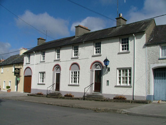 Kinnitty Garda Síochána StationRIC barracks · 1167 yd
 Knockbarron WoodForest · 1430 yd
 CastleCastle, tower house · 1686 yd
 Bawn in Annaghmore AND AnnaghbegBawn · 1725 yd
 Moneyguyneen WoodWood · 1.0 mi
 Waypoint 1Visitor information · 1.2 mi
 Slieve Bloom Mountain Bike TrailVisitor information · 1.4 mi
 Kinnitty Castle LoopWalking route · 1.8 mi
 KnocknamanMountain / peak · 2.1 mi