What is recorded here
A section of the Cork-Waterford county boundary (L c. 60m) immediately E of the Tallow-Youghal link road (R634) consists of a linear bank (Wth 1.6m; H 1.1m), stone faced in parts. A fosse (D 0.5m) survives on the S side, with a counterscarp bank (H 0.6m). The bank appears to continue on the W side of the road, but it is not possible to examine due to overgrowth. The boundary stone (CO056-008----/WA033-013----) is at the E end. It may be a continuation of the 'auld ditch' (CO055-054----/WA033-011----) recorded by Bateman (1716-1717) c. 800m further W along county boundary.
Compiled by: Michael Moore
Date of upload: 27 September 2011
The monument record does not grant public access. Check the route and ask the landowner before entering private land.
- What survives
- Recorded monument
Places near here
 Burial ground in GlennagloghBurial ground · 948 yd
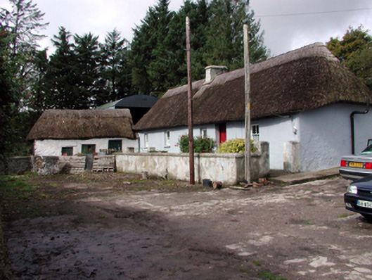 farm housefarm house · 1.3 mi
 Enclosure in Lyre MountainEnclosure · 1.4 mi
 Sandyhill Housecountry house · 1.8 mi
 European ashEuropean ash · 4.0 mi
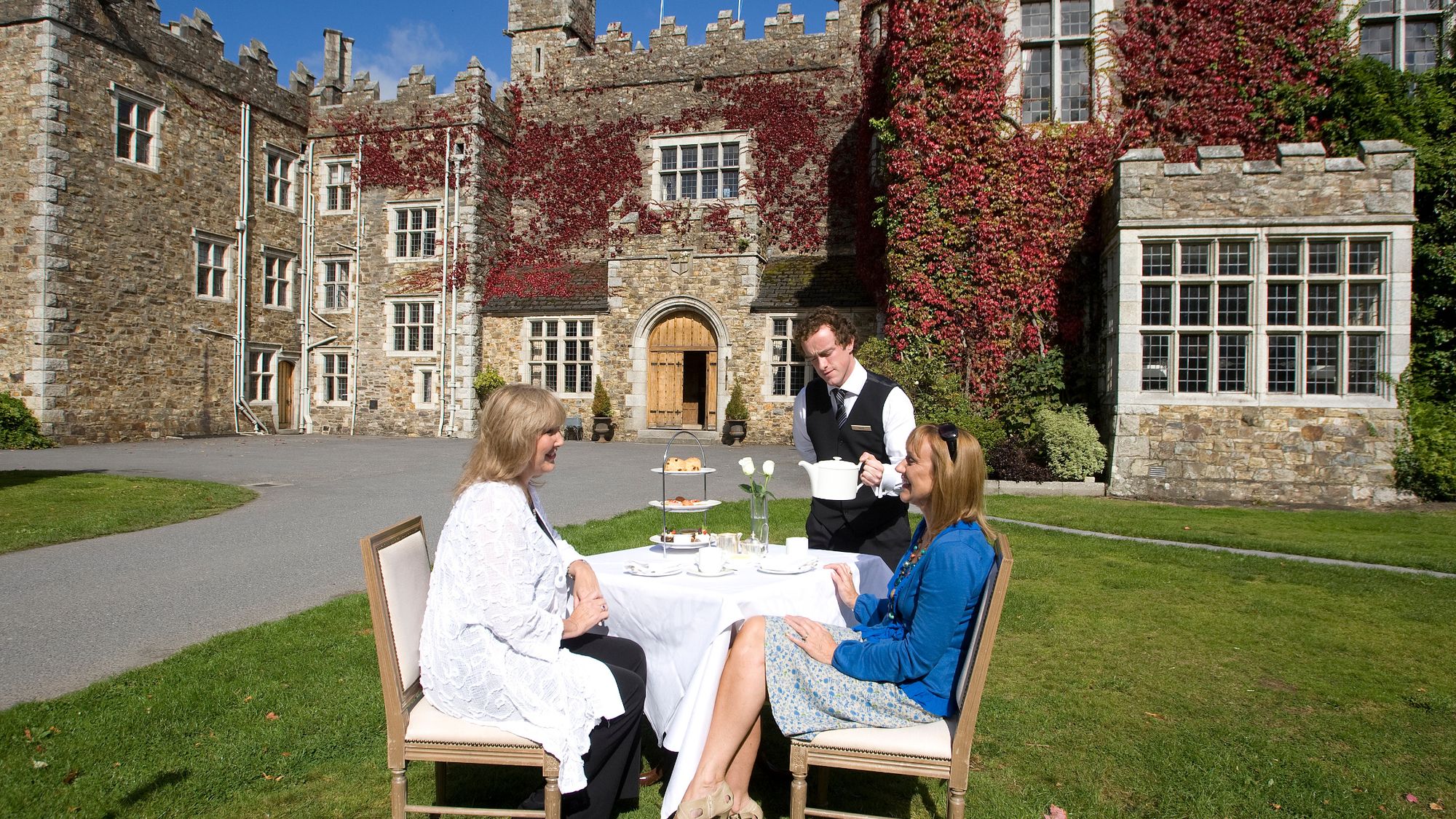 Castle Miles (in ruins)Castle, unclassified · 4.2 mi
 Molana AbbeyHeritage attraction · 4.3 mi
 Templemichael Castle (in ruins)Castle, tower house · 4.5 mi
 Salt HillMountain / peak · 4.8 mi
 Leahy's Open FarmHeritage attraction · 5.1 mi
 D'Loughtane WoodForest · 5.2 mi
 St Bridget's WellSpring · 5.5 mi