
What is recorded here
Indicated is a fairy fort in County Clare, Ireland, where the earth still holds the shape of a ring. It is the kind of place people avoid at dusk because the border between the seen and hidden world grows thin. The clay may have swallowed lives, memories or small gods long before human records began.
The Archaeological Survey of Ireland (ASI) is in the process of providing information on all monuments on The Historic Environment Viewer (HEV). Currently the information for this record has not been uploaded. To access available information for research purposes please make an appointment in advance with the Archive Unit (open Fridays 10.00 am – 5.00 pm), Department of Housing, Local Government and Heritage, The Custom House, Dublin 1 D01W6XO or email NMarchive@housing.gov.ie.
The monument record does not grant public access. Check the route and ask the landowner before entering private land.
- What survives
- Recorded monument
Places near here
 Knockatunna FortFairy fort / earthen ringfort · 677 yd
 RathcronyFairy fort / earthen ringfort · 1142 yd
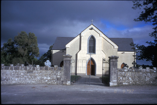 Catholic Church of Saint John the Baptistchurch/chapel · 3.5 mi
 Cragbrien Castle (Site of)Castle, unclassified · 3.5 mi
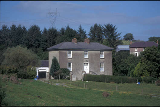 Glebe Houserectory/glebe/vicarage/curate's house · 3.7 mi
 Inch Castle (in Ruins)Castle, tower house · 4.0 mi
 Poul na gollorCave · 4.3 mi
 Killone AbbeyHeritage attraction · 4.7 mi
 Abbey WoodForest · 4.8 mi
 Alice and Gwendoline CaveMuseum · 4.8 mi
 Rockmount WoodWood · 5.0 mi
 Gull RockNamed rock · 5.8 mi
Other information
Photo: Credit not shown in the picture search · Rights wording not checked; contact us if this picture should be removed