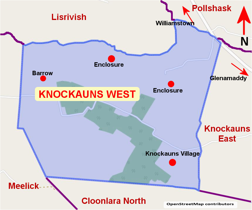
What is recorded here
In pasture. Shown on the 1837 and 1930 OS 6-inch maps as a roughly circular, ringfort-sized enclosure (diam. c. 23-25m), clipped on the NW edge by a field boundary. This enclosure has been levelled.
Compiled by: Jane O’Shaughnessy
Date of upload: 13 April 2018
The monument record does not grant public access. Check the route and ask the landowner before entering private land.
- What survives
- Recorded monument
Places near here
 Enclosure in CroftonparkEnclosure · 1182 yd
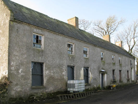 Croftonpark Housefarm house · 1353 yd
 CastleCastle, unclassified · 1752 yd
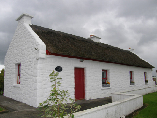 Kelly's Cottagehouse · 1.2 mi
 Rucklagh FortFairy fort / earthen ringfort · 1.2 mi
 Battle of Ballinabattle · 2.1 mi
 Belleek WoodsWood · 2.4 miHumbert MonumentMemorial · 2.5 mi
 FloretteWreck · 2.6 mi
 Deel CastleCastle · 2.7 mi
 Rinphilip PointHeadland · 2.7 mi
 Gortabradawn PointHeadland · 4.2 mi
Other information
Photo: Credit not shown in the picture search · Rights wording not checked; contact us if this picture should be removed