
What is recorded here
Shown on Taylor's 1783 map of County Kildare as a circular enclosure. On a gentle E-facing pasture slope just off the crest of a low hill. A poorly preserved, approximately circular area (diams. 42.2m N-S; 39m E-W) is defined by a low, inner, earthen bank (Wth c. 2m; int H c. 0.3m; ext. H c. 0.4m), a fosse (Wth c. 3m; D 0.2m), and a second, faint, outer earthen bank (Wth c. 1.5m; H c. 0.2m). A shallow field drain crosses the interior (N-S) to E of centre. Faintly visible on a recent aerial photograph (OSi Orthophoto, 2005).
Compiled by: Gearóid Conroy
Date of upload: 10 June 2011
A local fairy fort (ringfort/rath); wider significance not recorded.
The monument record does not grant public access. Check the route and ask the landowner before entering private land.
- What survives
- Recorded monument
Places near here
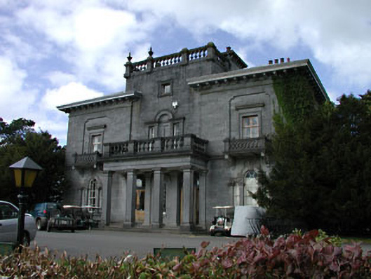 Knockanally Housecountry house · 372 yd
 water pumpwater pump · 1280 yd
 Ovidstown RathEnclosure · 1285 yd
 MoatCastle, motte · 1709 yd
 Site of Dunfierth CastleCastle, unclassified · 1.9 mi
 Cloncurry GraveyardHeritage attraction · 2.0 mi
 The Grill ShackHeritage attraction · 2.3 mi
 Old Bog Road made famous by Teresa Bryton 1868-1943Memorial · 2.5 mi
 European ashEuropean ash · 3.2 mi
 9/11 MemorialMemorial · 3.4 mi
 Loughtown CovertWood · 4.7 mi
Other information
Photo: Credit not shown in the picture search · Rights wording not checked; contact us if this picture should be removed