
What is recorded here
Indicated is a thirty-metre earthen ring in Mayo pasture, possibly a human home before becoming a fairy fort. It has no gate, no broken stone and no owner, yet the grass grows thicker inside the bank as if something still lives there. The road skirts it on the west, forcing cars to bend around a shape they cannot name. People drive past without seeing it, but the land remembers the circle and keeps it hidden in plain sight.
In level pasture, skirted by road on W. Circular area (30m N-S; 29m E-W) enclosed by earthen bank (H 0.5m). Possibly a ringfort.
The above description has been derived from D. Lavelle (compiler), An Archaeological Survey of Ballinrobe and District including Lough Mask and Lough Carra. Lough Mask and Lough Carra Tourist Development Association (1994), No. 466.
Date of upload: 6 February 2013
The monument record does not grant public access. Check the route and ask the landowner before entering private land.
- What survives
- Recorded monument
Places near here
 IndicatedFairy fort / earthen ringfort · 432 yd
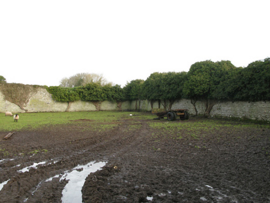 Newbrook Housewalled garden · 741 yd
 Bawn in BellanaloobBawn · 780 yd
 Enclosure in BellanaloobEnclosure · 1374 yd
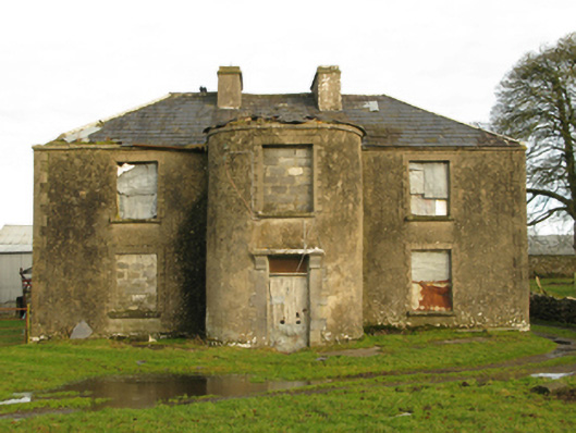 Beech Grovefarm house · 1.1 mi
 Castle (in Ruins)Castle, unclassified · 1.5 mi
 Creevagh IslandIslet · 2.9 mi
 Connors IslandIslet · 3.0 mi
 Moore Hall Forest TrailWalking route · 3.0 mi
 Moore Hall ForestForest · 3.2 mi
 Kiltoom PointHeadland · 3.3 mi
 European hornbeamEuropean hornbeam · 4.1 mi
Other information
Photo: Credit not shown in the picture search · Rights wording not checked; contact us if this picture should be removed