
What is recorded here
On the N end of a N–S pasture ridge, overlooked by slightly higher ridges to the E and W. Recorded as a probable ringfort on the first edition (1837) of the OS 6-inch map which shows an oval-shaped enclosure (est. ext. diams. c. 40m N-S; c. 35m E-W). This map also records a small linear copse of trees (est. L c. 45m N-S; Wth c. 25m E-W) immediately to the W of the monument. Neither fort nor copse is recorded on subsequent edition of the OS map. No visible surface trace survives and modern field boundaries run N-S and E-W across the site. An upstanding ringfort (MA070-61----) lies c. 140m to the WSW.
Date of visit: 08-5-2025
Compiled by: Gearóid Conroy
A local fairy fort (ringfort/rath); wider significance not recorded.
The monument record does not grant public access. Check the route and ask the landowner before entering private land.
- What survives
- Recorded monument
Places near here
 TemplemoreChurch · 659 yd
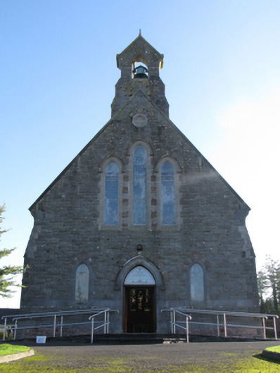 Catholic Church of Saint Peter and Saint Paulchurch/chapel · 816 yd
 Michael DavittMemorial · 834 yd
 Ballylahan Castle in RuinsCastle, Anglo-Norman masonry castle · 1.2 mi
 LismoreFairy fort / earthen ringfort · 1.5 mi
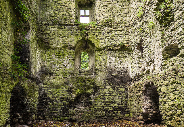 Castle in ruinsCastle, tower house · 1.7 mi
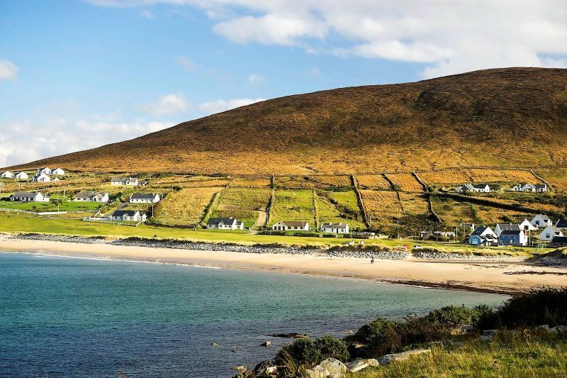 InidcatedFairy fort / earthen ringfort · 1.9 mi
 Admiral William BrownMemorial · 3.8 mi
 Foxford Woollen MillsHeritage attraction · 3.8 mi
 Oak WoodWood · 4.1 mi
 Lough CullinViewpoint · 4.2 mi
 Drummin ForestForest · 4.3 mi
Other information
Photo: Credit not shown in the picture search · Rights wording not checked; contact us if this picture should be removed