What is recorded here
The fairy fort or earthen ringfort in Knockadoo (leyny By.) is in County Sligo, Ireland. It occupies pasture at the south end of a ridge summit. A roughly circular earthen bank encloses the site, with a possible eastern entrance and gaps at the northeast and south west. A smaller sod-covered arc defines the southeast quadrant, while field boundaries cross the interior and exterior.
In pasture, straddling the S end of the summit of a ridge. A slightly raised roughly circular area (44.5m NNW-SSE; 48.5m NE-SW) enclosed by an earthen bank (Wth 2.7m; int. H 1.2m; ext. H 1.4m) all round apart from WSW-WNW where the bank is levelled for c. 12m. The bank SE-S is low internally (H 0.5m) but high externally to compensate for the hillslope. There is a possible entrance at E (Wth 4m) with traces of stone facing on its N side. Gaps (Wth 2m) occur in the bank at NE and SSW. The interior slopes gently down to SE. In the SE quadrant an area (32m N-S; c. 34m NE-SW) is defined by an arc of sod-covered bank (Wth 2.7m; int. H 0.55m; ext. H 0.4m) SW-E. A NW-SE field boundary crosses the SW quadrant. Traces of a levelled NW-SE field boundary (Wth 1m) are barely discernible crossing the centre of the interior and continuing as an extant boundary to SE of the rath. Another field boundary shown on the 1914 OS 6-inch map extending NE from bank at N has been levelled. A bowl-barrow (SL025-035----) lies c. 60m to NE.
The above description is derived from the published 'Archaeological Inventory of County Sligo' compiled by Ursula Egan, Elizabeth Byrne, Mary Sleeman with Sheila Ronan and Connie Murphy (Dublin Stationery Office, 2005).
Date of upload: 18 January 2008
The monument record does not grant public access. Check the route and ask the landowner before entering private land.
- What survives
- Recorded monument
Places near here
 Enclosure in Knockadoo (leyny By.)Enclosure · 420 yd
 IndicatedFairy fort / earthen ringfort · 802 yd
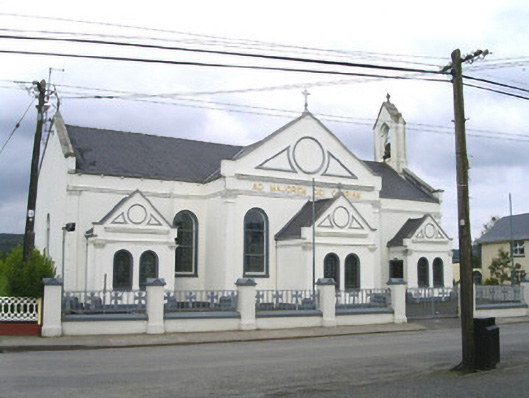 Catholic Church of the Sacred Heart and Saint Josephchurch/chapel · 1.2 mi
 Church (in Ruins)Church · 1.4 mi
 CloonaghMountain / peak · 2.9 mi
 KnocknasheeMountain / peak · 3.0 mi
 Moymlough Castle (in Ruins)Castle, tower house · 3.5 mi
 European ashEuropean ash · 3.5 mi
 Pigeonpark WoodForest · 3.7 mi
 Bawn in Longford DemesneBawn · 4.0 mi
 RinnatalleenHeadland · 4.9 mi
 Derinch PointHeadland · 5.0 mi