What is recorded here
Indicated is a hilltop enclosure in County Cork, Ireland. It appeared on maps as an oval boundary beside a turret, but human activity later levelled the fort and buried its edges beneath grass. The steep scarp still marks the hill's edge, preserving the shape of a place that once demanded attention before forgetting it.
On top of a hill. Depicted as hachured oval enclosure (c. 40m E-W; c. 20m N-S) on 1842 OS 6-inch map, with rectangular 'Turret' marked in NW quadrant; broken line encloses oval area (c. 30m E-W; c. 18m N-S) on 1936 OS 6-inch map, with 'Gizabo' immediately outside oval area to W. Top of hill, as depicted by broken line on OS 6-inch map, fairly level, densely overgrown and defined by steep scarp; tower (14955) at W end. According to Bowman (1934, 597), 'fort' on summit of hill 'practically levelled'. Enclosure probably associated with tower.
The above description is derived from the published 'Archaeological Inventory of County Cork. Volume 4: North Cork' (Dublin: Stationery Office, 2000). In certain instances the entries have been revised and updated in the light of recent research.
Date of upload/revision: 14 January 2009
The monument record does not grant public access. Check the route and ask the landowner before entering private land.
- What survives
- Recorded monument
Places near here
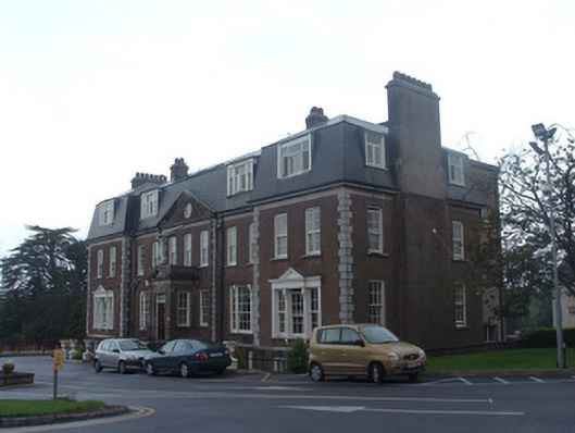 Mount Alvernia Hospitalcountry house · 444 yd
 Immaculata Mount AlverniaCountry house · 452 yd
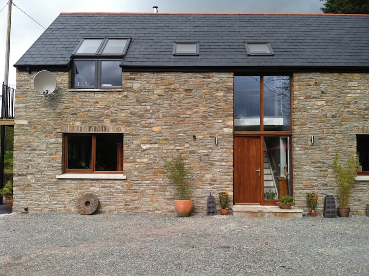 Enclosure in Dromore (duhallow By.)Enclosure · 1076 yd
 Anias WellHoly well · 1395 yd
 Blackwater WayWalking route · 1613 yd
 Mallow River TrailVisitor information · 1.4 mi
 In loving memory of Elvis O'DonoghueMemorial · 1.4 mi
 Castle (Site of )Castle, unclassified · 1.9 mi
 Dromaneen CastleHeritage attraction · 2.0 mi
 Mallow Castle (in Ruins)House, fortified house · 2.1 mi
 Bweeng LittleMountain / peak · 5.5 mi
 Graveyard in Ballygiblin (duhallow By.)Graveyard · 6.1 mi