What is recorded here
Indicated is a lost ringfort in level Mayo pasture, visible only through cropmarks and old map lines. It vanished from human memory before modern cameras could capture it, leaving behind a ghost circle in the grass. The land keeps its shape even when people stop seeing it.
In level pasture. Shown on the 1838 OS 6-inch map as a circular ringfort-sized enclosure, and on the 1929 edition as an arc of hachures, curving from SW to ENE. A circular cropmark (diam c. 25-30m) is evident in aerial view. Lavelle (1994, 63, no. 464) recorded it as ‘Levelled; no visible trace.’ Possibly a ringfort.
Compiled by: Jane O'Shaughnessy
Date of upload: 23 December 2014
This remains an important historical record, but the official description says the monument is no longer visible or has been destroyed. The monument record does not grant public access. Check the route and ask the landowner before entering private land.
- What survives
- No visible remains or recorded as destroyed
Places near here
 Enclosure in DrumellyEnclosure · 759 yd
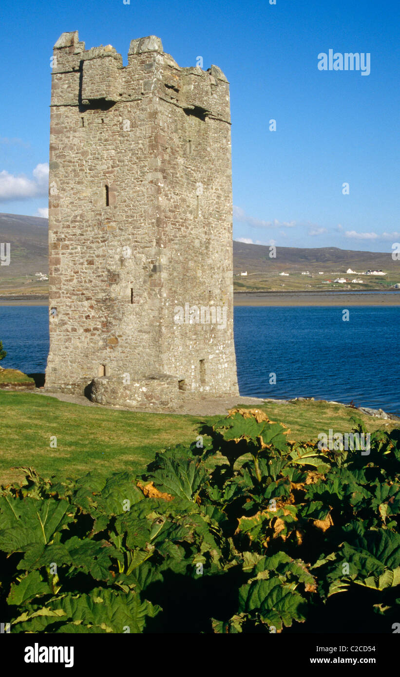
 Enclosure in KiltogorraEnclosure · 769 yd
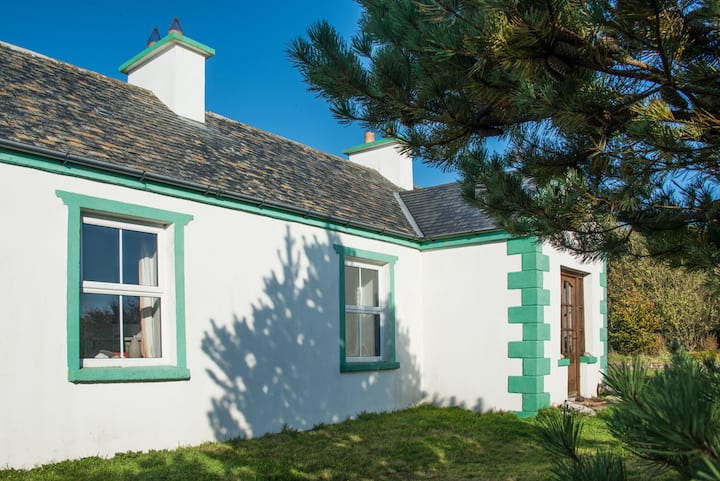
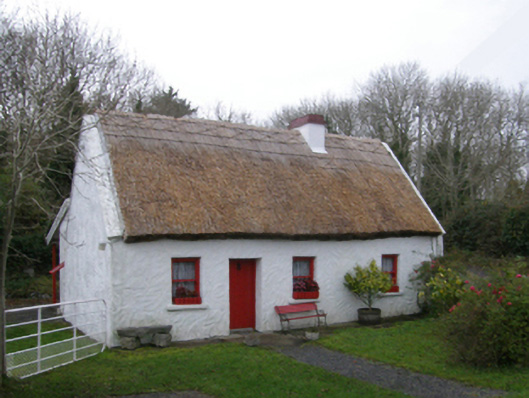 The Neale Cottagehouse · 1306 yd
 mill (wind)mill (wind) · 1618 yd
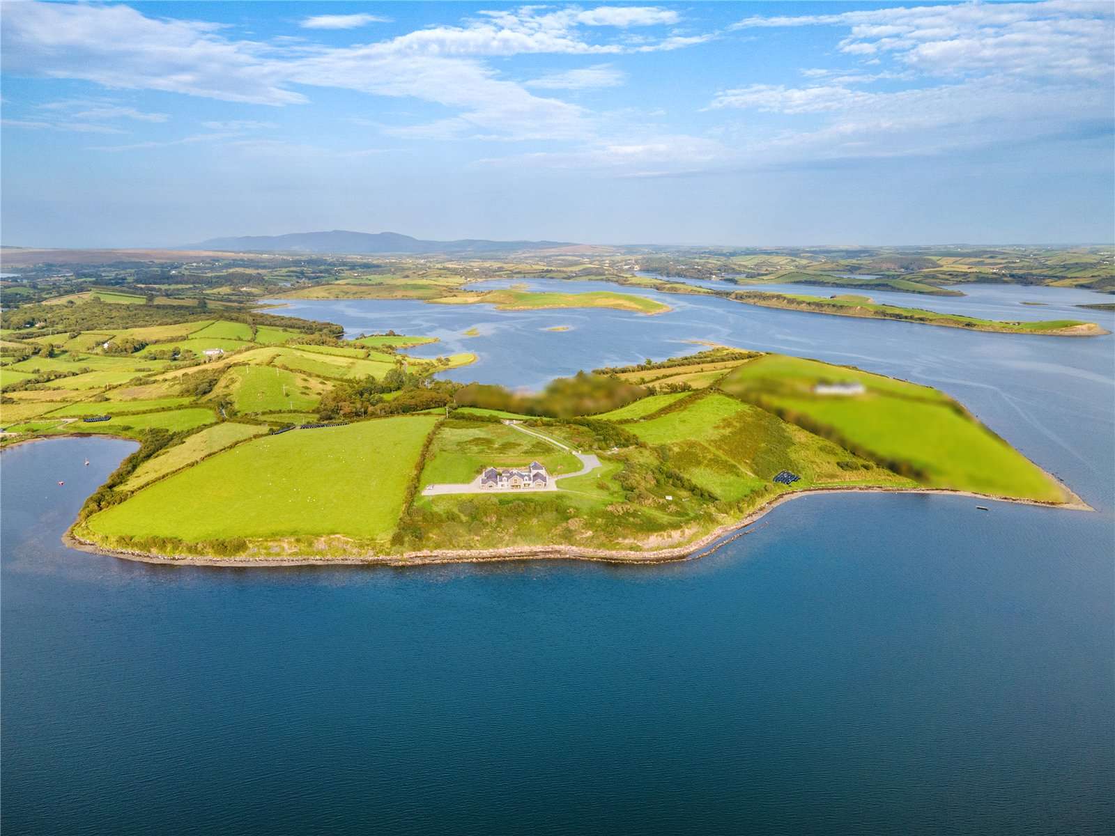 CastleCastle, tower house · 1.1 mi
 Caherduff CastleCastle · 1.6 mi
 Gibbs IslandsIslet · 2.7 mi
 Easter IslandIslet · 2.8 mi
 Cong AbbeyHeritage attraction · 3.5 mi
 Quiet Man MuseumMuseum · 3.5 mi
 European YewEuropean Yew · 3.5 mi
 Silver FirSilver Fir · 3.7 mi