What is recorded here
On a gradual S-facing slope in undulating terrain, under pasture. There is no visible trace of the graveyard and its associated church (TS086-015----) above ground. The church is named on the 1st (1840) ed. OS 6-inch map as 'site of Kiltankin Church', with a small, roughly oval dashed area (dims. c. 17m N-S; c. 24.5m E-W) indicating the known extent of the graveyard.
Compiled by: Jean Farrelly
Date of upload: 18 November 2013
This remains an important historical record, but the official description says the monument is no longer visible or has been destroyed. The monument record does not grant public access. Check the route and ask the landowner before entering private land.
- What survives
- No visible remains or recorded as destroyed
Places near here
 Site of Kiltankin ChurchChurch · 4 yd
 LissardrahaFairy fort / earthen ringfort · 290 yd
 Knocknagapple Church (in ruins)Church · 1.3 mi
 CastleCastle, ringwork · 1.3 mi
 KilnKiln, corn-drying · 1.4 mi
 Curraleigh MountainMountain / peak · 2.6 mi
 Site of CastleCastle, unclassified · 2.7 mi
 Mitchelstown CaveCave · 2.8 mi
 Ronald Reagan CentreHeritage attraction · 2.9 mi
 Lyrefune HillMountain / peak · 3.2 mi
 Coopers WoodWood · 3.4 mi
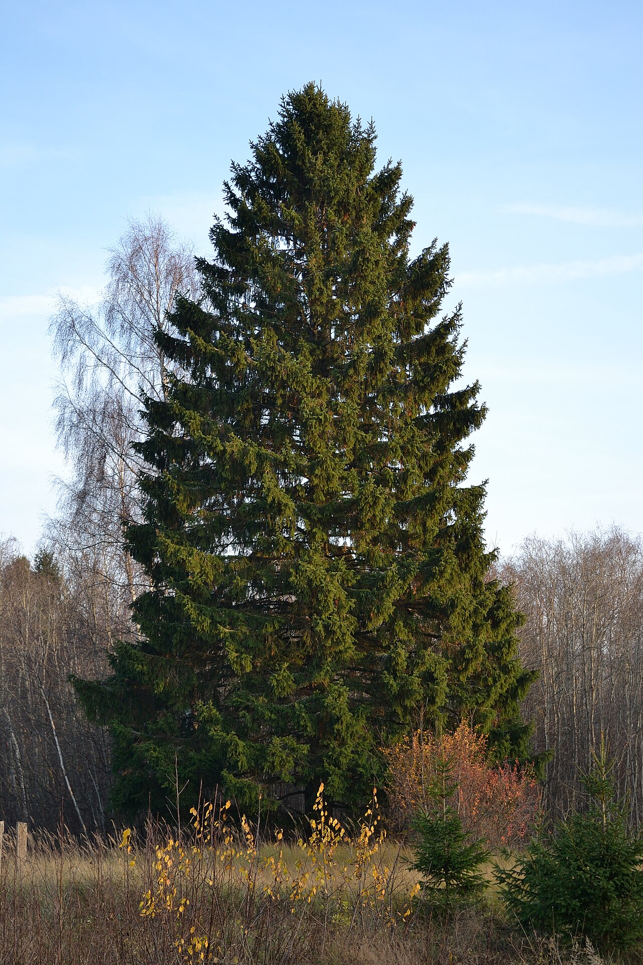 Norway SpruceNorway Spruce · 3.7 mi