What is recorded here
Indicated as an oval enclosure (diam. c. 40m) on the 1st (1839) ed. OS 6-inch map and as a square enclosure with rounded corners on the 1947 revision with an unenclosed area (dims. c. 28m NW-SE; c. 24m NE-SW) outlined as a dashed line adjoining to the E. By 1969 the enclosure had been levelled and is visible as a cropmark on aerial photographs (CUCAP AYK063, 9 July 1969; BDI038, 14 July 1970). Also visible as cropmarks on these aerial photographs are an enclosure (KK023-049002-) which adjoins to the W and another (KK023-049003-) located c. 70m to the W.
KK023-049001-_01 aerial photograph (CUCAP AYK063, 9 July 1969)
KK023-049001-_02 aerial photograph (CUCAP BDI038, 14 July 1970)
Compiled by: Jean Farrelly
Date of upload: 17 August 2021
The monument record does not grant public access. Check the route and ask the landowner before entering private land.
- What survives
- Recorded monument
Places near here
 Enclosure in Kilree (knocktopher By.)Enclosure · 34 yd
 IndicatedEnclosure · 470 yd
 Church in Kilree (knocktopher By.)Church · 887 yd
 Castle (in ruins)Castle, unclassified · 905 yd
 Black WalnutBlack Walnut · 1344 yd
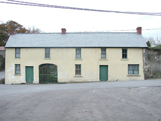 Kilkenny HouseRIC barracks · 1448 yd
 Time CapsuleMemorial · 1.1 mi
 MarlowWood · 1.3 mi
 O'Gorman's Lane LoopWalking route · 1.4 mi
 Danesfort CrossMemorial · 1.5 mi
 Kilkenny AirsoftHeritage attraction · 1.5 mi
 Tower (in ruins)Bawn · 1.7 mi