What is recorded here
On a flat-topped hill, surrounded by pasture. According to Carrigan (1905, vol. 4, 45), the name Kilree is derived from Cill Ruidhche, after St Ruidhche, a female saint who is commemorated on the 8th of February. A medieval church (KK027-044001-) dating to the 10th/11th century is centrally located within the graveyard, aligned E-W. There is a round tower (KK027-044003-) 7m NW of the church, along the W wall of the graveyard and a high cross (KK027-004404-) c. 40m W of the graveyard. The graveyard is roughly D-shaped (dims. 67m N-S; 43m E-W), with the roughly straight side to the W, aligned N-S, and the curving portion to the E. The graveyard is enclosed by a stone wall with the entrance on the E side, facing the public road. The earliest visible grave markers are within the chancel, consisting of two graveslabs (KK027-044007-; KK027-044008-) and a chest tomb (KK027-044006-).
Compiled by: Jean Farrelly
Date of upload: 30 January 2017
The monument record does not grant public access. Check the route and ask the landowner before entering private land.
- What survives
- Recorded monument
Places near here
 St Bridgets Church (in ruins)Church · 15 yd
 KilreeArchaeological place · 29 yd
 Cloigtheach (Round Tower)Round tower · 36 yd
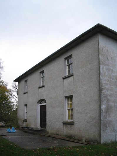 farm housefarm house · 834 yd
 Kells Augustinian PrioryHeritage attraction · 1.4 mi
 Water TowerCastle · 1.4 mi
 Prior's TowerCastle · 1.5 mi
 Kells Loop WalkWalking route · 1.5 mi
 Famous Horses of KellsMemorial · 1.5 mi
 Pat WalshMemorial · 1.6 mi
 Kells Priory Mill MuseumMuseum · 1.7 mi
 Lacken WellSpring · 1.8 mi