What is recorded here
Not included in the SMR (1989) but listed in the RMP (1995) and classified 'House'.
In a small field of undulating rough grazing. A raised rectangular stone-built structure (int. dims 3.2m N-S; 2.7m E-W) which is open at the E end. The walls (T 0.65m; max. H 0.85m) are of upright stone blocks bedded on their sides. Contiguous to, and to the W of this, is a second rectangular structure (int. dims. 3m E-W; 3.5m N-S), the walls of which are one slab thick (T 0.4m). The entrance (Wth 0.5m) is in the centre of the W wall. From the W end of this structure a pair of parallel walls, c. 3.2m apart and built of slabs laid lengthways, extend 10.3m to W, stopping short of a N-S field boundary. This house probably dates to the post AD 1700 period.
Compiled by: Archaeological Survey Unit, UCC
Date of upload: 11 January 2012
The monument record does not grant public access. Check the route and ask the landowner before entering private land.
- What survives
- Recorded monument
Places near here
 Church (in Ruins)Church · 95 yd
 St. Fechins WellHoly well · 291 yd
 CashelFairy fort / stone ringfort · 769 yd
 BunreecoillMountain / peak · 1603 yd
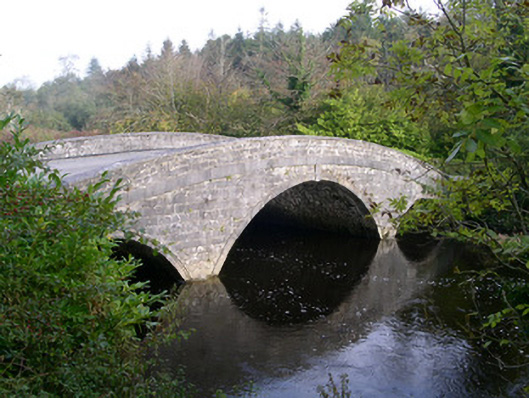 Annaghmore Housebridge · 1736 yd
 SlievewardMountain / peak · 1.1 mi
 Castle (Site of)Castle, unclassified · 1.4 mi
 Moymlough Castle (in Ruins)Castle, tower house · 1.6 mi
 Teeling MonumentMemorial · 1.6 mi
 Battle of Collooneybattle · 1.6 mi
 Union RockForest · 2.6 mi
 RinnatalleenHeadland · 3.2 mi