What is recorded here
The enclosure in Kilnamanagh is in County Sligo, Ireland. It occupies a slight ridge in undulating pasture and measures thirty-two metres north-south by twenty-two metres east-west. A sod-covered stone wall surrounds the area, while a circular rubble mound sits in the southern half. The Kilnamanagh church and graveyard lie one hundred and thirty metres to the southwest.
In undulating pasture, on a slight ridge. A subrectangular area (32m N-S; 22m E-W) enclosed by the remains of a sod-covered stone wall (T 1.5m; int. H 0.3m; ext. H 0.8m). There is a circular mound of rubble (diam. 2m; H 0.5m), covered with soil, in the S half of the interior. The church and graveyard (SL026-016----; SL026-016001-) of Kilnamanagh lie c. 130m to SW.
The above description is derived from the published 'Archaeological Inventory of County Sligo' compiled by Ursula Egan, Elizabeth Byrne, Mary Sleeman with Sheila Ronan and Connie Murphy (Dublin Stationery Office, 2005).
Date of upload: 18 January 2008
The monument record does not grant public access. Check the route and ask the landowner before entering private land.
- What survives
- Recorded monument
Places near here
 Church (in Ruins)Church · 137 yd
 St. Fechins WellHoly well · 512 yd
 CashelFairy fort / stone ringfort · 614 yd
 BunreecoillMountain / peak · 1440 yd
 SlievewardMountain / peak · 1.1 mi
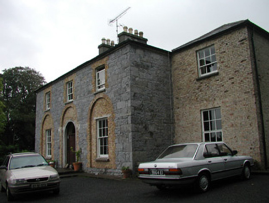 Glebe Houserectory/glebe/vicarage/curate's house · 1.1 mi
 Castle (Site of)Castle, unclassified · 1.5 mi
 Teeling MonumentMemorial · 1.5 mi
 Battle of Collooneybattle · 1.5 mi
 Moymlough Castle (in Ruins)Castle, tower house · 1.7 mi
 Union RockForest · 2.4 mi
 RinnatalleenHeadland · 3.2 mi