What is recorded here
In pasture, situated on a low rise in an area of undulating terrain, overlooked by an E–W ridge of higher ground to N. There is a gentle rise in ground to E. Nephin Mountain dominates the view to SSW, and the Nephin Beg range defines the skyline at S–W.
A slightly raised, circular platform (diam. 9.5m) defined by a slight scarp (H 0.4m), and enclosed by a fosse (Wth 1.8m) with an external bank (Wth 2.6m; int. H 0.45m; ext. H 0.85m). Some field clearance stones are strewn in the interior and on the bank. Hawthorn trees ring the perimeter.
Compiled by: Jane O'Shaughnessy
Date of upload: 1 August 2019
A portal dolmen; likely dating to the Neolithic or early Bronze Age. Its location suggests a possible ritual or funerary function within a landscape of significant natural and cultural features.
The monument record does not grant public access. Check the route and ask the landowner before entering private land.
- What survives
- Recorded monument
Places near here
 IndicatedEnclosure · 332 yd
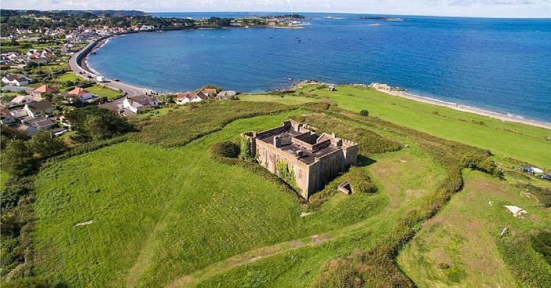 Shearna FortEnclosure · 584 yd
 Church in ruinsChurch · 1244 yd
 Catholic Church of Our Ladychurch/chapel · 1261 yd
 RathmoreCastle, motte · 1711 yd
 Grave of the KingsArchaeological place · 1.3 mi
 Ballyduffy CastleCastle, unclassified · 1.5 mi
 Castle IslandIslet · 2.2 mi
 Titanic Memorial ParkMemorial · 2.3 mi
 Roe IslandIslet · 2.5 mi
 NephinMountain / peak · 3.6 mi
 KnockaffertaghMountain / peak · 7.0 mi