
What is recorded here
Located in flat, low-lying land attached to the S side of Kilmahuddrick graveyard (DU017-038002-). A roughly rectangular enclosure (int. dims. L 95m; Wth 50m) which is defined by a flat-topped earthen bank (Wth 4.1m; H 0.5m) and wide outer fosse (Wth 3.5m; D 2.1m). There is a causeway across the fosse in the NE and a corresponding break in the enclosing bank.
Compiled by: Geraldine Stout
Date of upload: 26 August 2011
The monument record does not grant public access. Check the route and ask the landowner before entering private land.
- What survives
- Recorded monument
Places near here
 Church (in ruins)Church · 60 yd
 CastleCastle, tower house · 297 yd
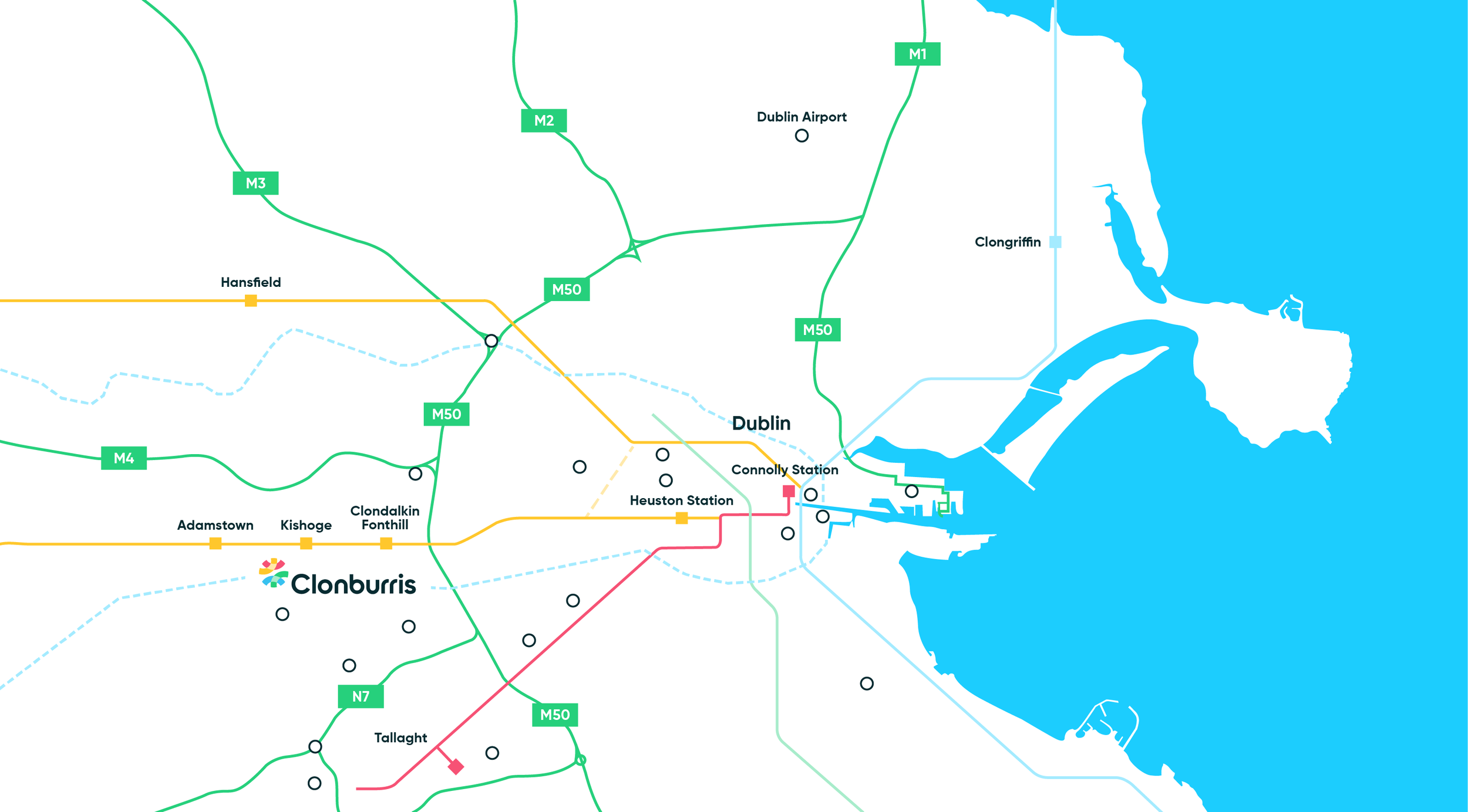 Enclosure in Clonburris LittleEnclosure · 642 yd
 Enclosure in BawnogesEnclosure · 764 yd
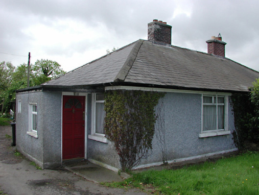 Sky Lawnhouse · 873 yd
 Nangor castleCastle, unclassified · 921 yd
 Corkagh DemesneMemorial · 1573 yd
 Fairy WoodWood · 1.1 mi
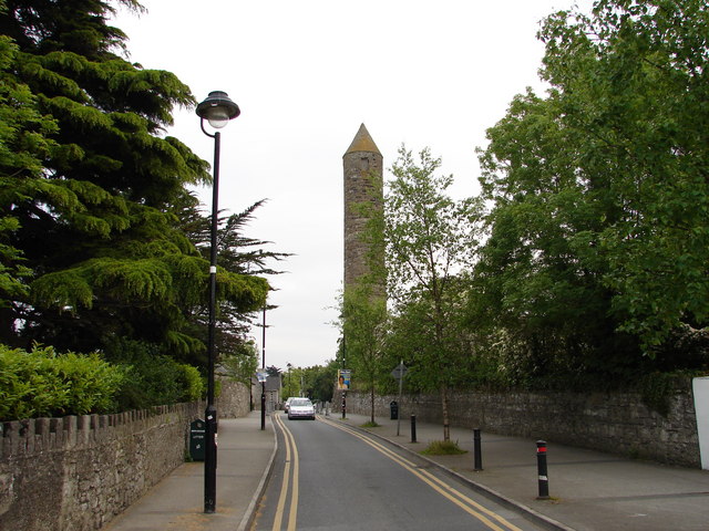 The Round TowerVisitor information · 1.1 mi
 Clondalkin Round TowerHeritage attraction · 1.1 mi
 Veronica Guerin memorialMemorial · 1.4 mi
 Griffeen Valley WalkWalking route · 1.4 mi
Other information
Photo: Credit not shown in the picture search · Rights wording not checked; contact us if this picture should be removed