What is recorded here
Indicated is a disused rectangular graveyard beside Deansrath Estate where a medieval parish church still stands in the north-east corner. Few gravestones remain, but 19th century memorials mark the flat, low-lying ground. A possible moated site attaches to the south side, suggesting the place has held water, death and memory for a long time.
Located in a flat, low-lying area.This is a rectangular disused graveyard close to Deansrath Estate. Remains of a medieval parish church (DU017-038001-) stand in the NE corner of the graveyard. Very few gravestones remain visible. It contains some 19th century memorials. Attached to the S side of the graveyard is a possible moated site (DU017-038003-).
Compiled by: Geraldine Stout
Date of upload: 26 August 2011
The monument record does not grant public access. Check the route and ask the landowner before entering private land.
- What survives
- Recorded monument
Places near here
 Church (in ruins)Church · 19 yd
 IndicatedMoated site · 42 yd
 CastleCastle, tower house · 339 yd
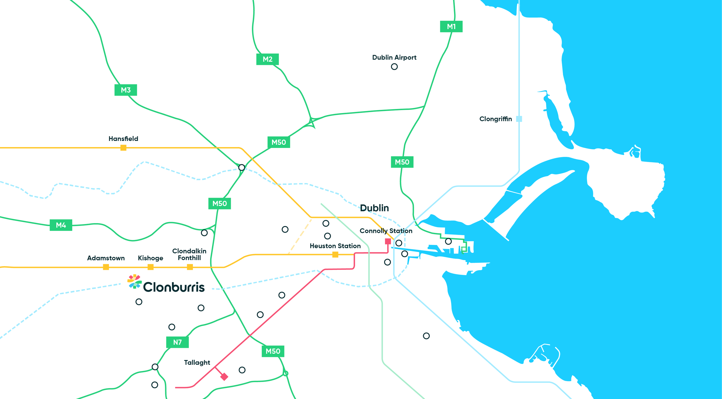 Enclosure in Clonburris LittleEnclosure · 603 yd
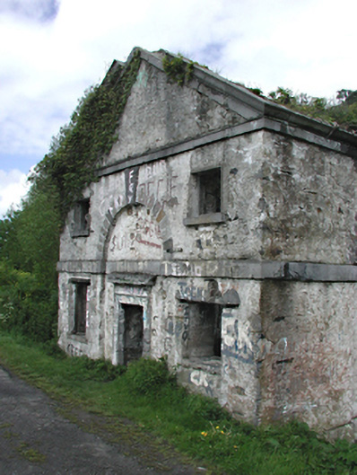 Omer Lock Houselock keeper's house · 861 yd
 Nangor castleCastle, unclassified · 953 yd
 Corkagh DemesneMemorial · 1607 yd
 Fairy WoodWood · 1.1 mi
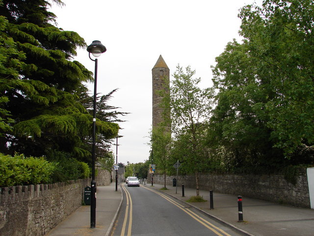 The Round TowerVisitor information · 1.1 mi
 Clondalkin Round TowerHeritage attraction · 1.1 mi
 Veronica Guerin memorialMemorial · 1.4 mi
 Griffeen Valley WalkWalking route · 1.4 mi