What is recorded here
In pasture, atop ridge. Circular area (29.5m N-S; 29.8m E-W) enclosed by dry-stone bank (int. H 0.98m; ext. H 0.6m), best preserved SE->NW. Bank, wide and flat-topped SE->NW (Wth top 6m), tapers to a point N->NE. Dip in bank (Wth 4.5m; int. H 0.3m) at NNW. Interior, under rough grazing, dips gently towards centre.
Compiled by: Denis Power
Date of upload: 26 August 2011
See attached ASI aerial photographs ASIAP – taken on 04/03/2006.
The monument record does not grant public access. Check the route and ask the landowner before entering private land.
- What survives
- Recorded monument
Places near here
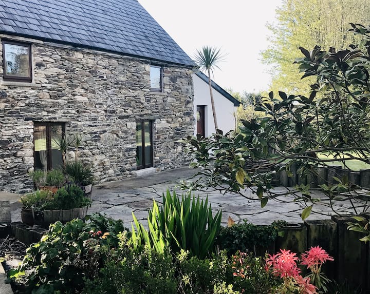 Enclosure in BallynacarrigaEnclosure · 542 yd
 Dromore CastleRuins · 913 yd
 schoolschool · 979 yd
 Castle (in ruins)Castle, tower house · 1011 yd
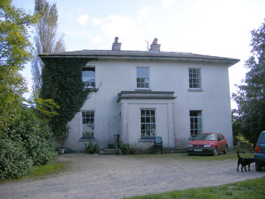 Rockfield Housecountry house · 1038 yd
 Partially indicatedEcclesiastical enclosure · 1.0 mi
 Sweet ChestnutSweet Chestnut · 1.9 mi
 Rinekirk PointHeadland · 1.9 mi
 Mellon PointHeadland · 2.1 mi
 Grass IslandIslet · 2.2 mi
 Celtic Park and GardensHeritage attraction · 2.4 mi
 Ringmoylan PierVisitor information · 2.9 mi