
What is recorded here
Indicated is a broken circular bank atop a Cork hill, perhaps the lost cillin at Killeagh. A quern stone surfaced there, suggesting people still ground grain or marked memory beside the earth. Two ringforts watch it from nearby pasture, while the bank has surrendered its shape to fields and time.
In pasture, atop hill. Roughly circular area (164m NW-SE) enclosed by earthen bank (int. H 1m; ext. H 1.6m), stone-faced in parts. Bank has numerous breaks is incorporated into field boundary system, with townland boundary following line of bank SE->SW. Possibly location of 'cillin at Killeagh (pronounced distinctly - Cill Aodha)' referred to by Power (1932, 64). According to local information, quern stone discovered here; probably same quern stone (D-shaped; 18in x 18in) found in Killeagh townland and reported to Cork Historical and Archaeological Society in May 1944 (UCC). Trivallate ringfort (12615) abuts site to SE; second ringfort (12614) c. 200m to W.
The above description is derived from the published 'Archaeological Inventory of County Cork. Volume 4: North Cork' (Dublin: Stationery Office, 2000). In certain instances the entries have been revised and updated in the light of recent research.
Date of upload/revision: 14 January 2009
The monument record does not grant public access. Check the route and ask the landowner before entering private land.
- What survives
- Recorded monument
Places near here
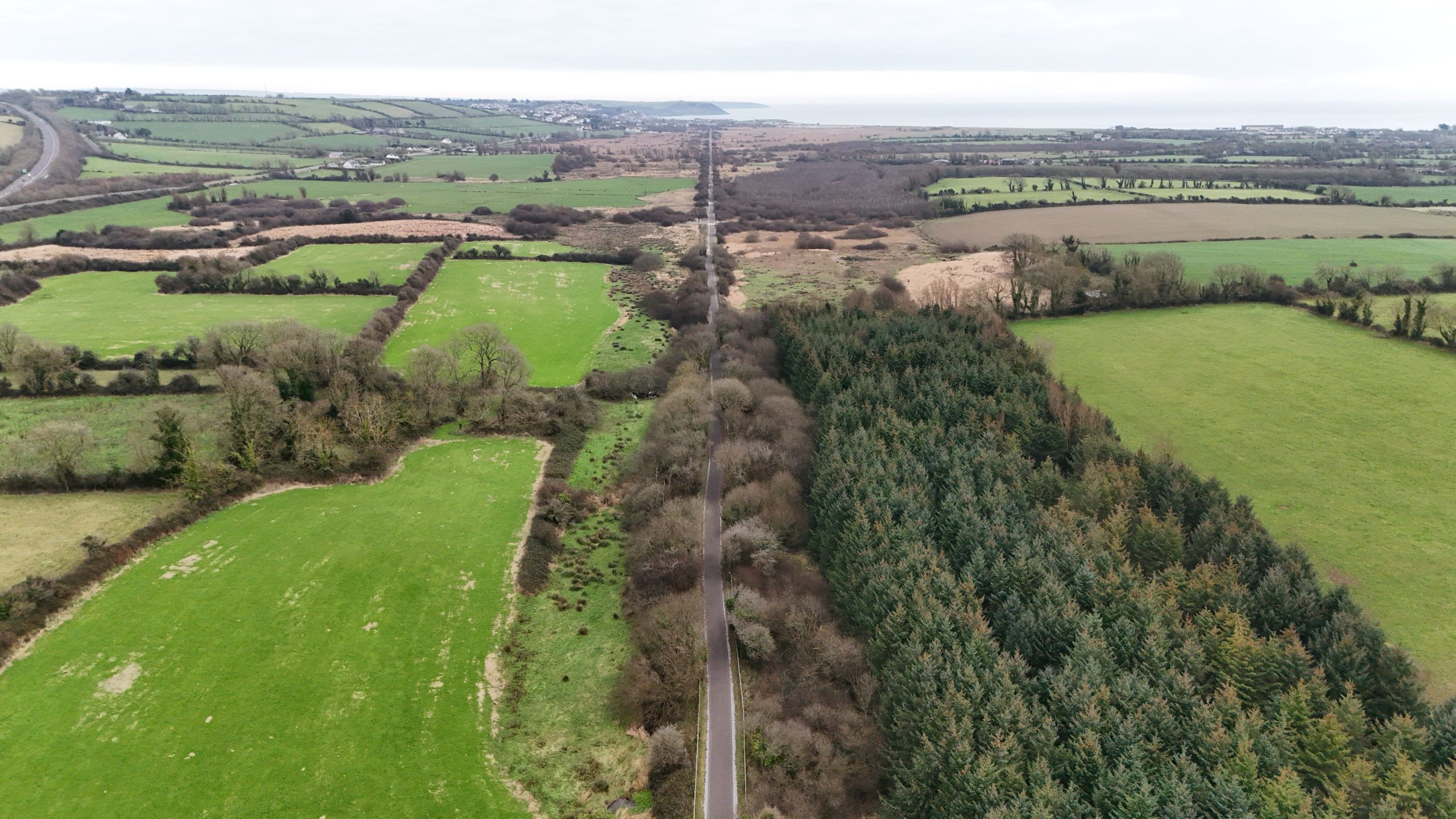 Fulacht fia in Killeagh (fermoy By.)Fulacht fia · 993 yd
 Man-made underground passageMan-made underground passage · 1017 yd
 Killleenemer Church (in Ruins)Church · 1491 yd
 Dunmahon Castle (in Ruins)Bawn · 1669 yd
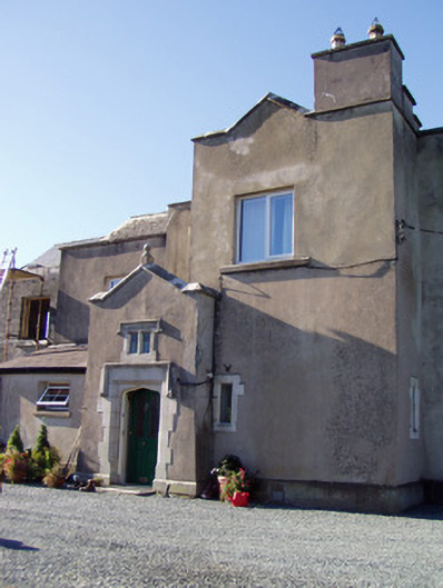 Ballyclogh Housecountry house · 1.1 mi
 Castle (in Ruins)Castle, tower house · 1.2 mi
 St Dominick's WellSpring · 1.8 mi
 Graveyard in BoherashGraveyard · 1.9 mi
 Flat cemetery in Ballyenahan NorthFlat cemetery · 4.3 mi
 Blackwater (Avondhu) WayWalking route · 5.7 mi
 Johnson's WoodForest · 5.9 mi
 Priest's WoodForest · 6.1 mi
Other information
Photo: Credit not shown in the picture search · Rights wording not checked; contact us if this picture should be removed