
What is recorded here
In pasture on the crest of an E-W ridge c. 110m N of the SW-flowing Dealagh River, with clear views to N and across Liscannor Bay to S. Hachured on both the first (1840) and Cassini (1916) editions of the OS 6-inch map. Classified as an enclosure in the RMP (1996). A subcircular rath (diams. 34m N-S; 32.7m E-W) is defined by a poorly preserved inner earthen bank (Wth 1.15m; int. H 0.2-0.4m; ext. H 0.65-1.15m), with surviving traces of an outer fosse (Wth 3m; D 0.1m) visible from NW-N-NE. The bank has several gaps, none obviously an original entrance, and has been reduced to a scarp (ext. H 0.7m) at SE and SW. The level interior is featureless.
Compiled by: Gearóid Conroy and Eve Campbell
Date of upload: 7-10-2025
The monument record does not grant public access. Check the route and ask the landowner before entering private land.
- What survives
- Recorded monument
Places near here
 Enclosure in KillaspuglonaneEnclosure · 332 yd
 Church in KillaspuglonaneChurch · 482 yd
 Dough CastleRuins · 878 yd
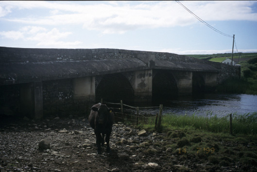 New Bridgebridge · 881 yd
 Enclosure in CaheraderryEnclosure · 1505 yd
 Lahinch BeachBeach / strand · 1.2 mi
 Kilmanahn GraveyardRuins · 1.2 mi
 Famine MemorialMemorial · 1.5 mi
 Site of Tullamore CastleCastle, unclassified · 1.7 mi
 John P. Holland CentreMuseum · 2.4 mi
 TullygarvanWood · 3.0 mi
 Bridget's Well;St Bridget's WellSpring · 3.3 mi
Other information
Photo: Credit not shown in the picture search · Rights wording not checked; contact us if this picture should be removed