What is recorded here
In undulating pasture. Monument, depicted as embanked roughly circular enclosure (diam. c. 50m) on 1841 OS 6-inch map and as rectangular enclosure (L: c. 50m NW-SE; c. 40m E-W), missing its SE side, on 1923 OS 6-inch map, has been levelled. No trace of monument evident when inspected. According to local information site was an embanked rectangular enclosure levelled c. 1980 when surrounding field boundaries removed.
Compiled by: Denis Power
Date of upload: 26 August 2011
The monument record does not grant public access. Check the route and ask the landowner before entering private land.
- What survives
- Recorded monument
Places near here
 IndicatedKiln, lime · 288 yd
 Castle (Site of)Castle, unclassified · 489 yd
 Prospect HillMountain / peak · 1.0 mi
 Mound in Killacolla (shanid By.)Mound · 1.0 mi
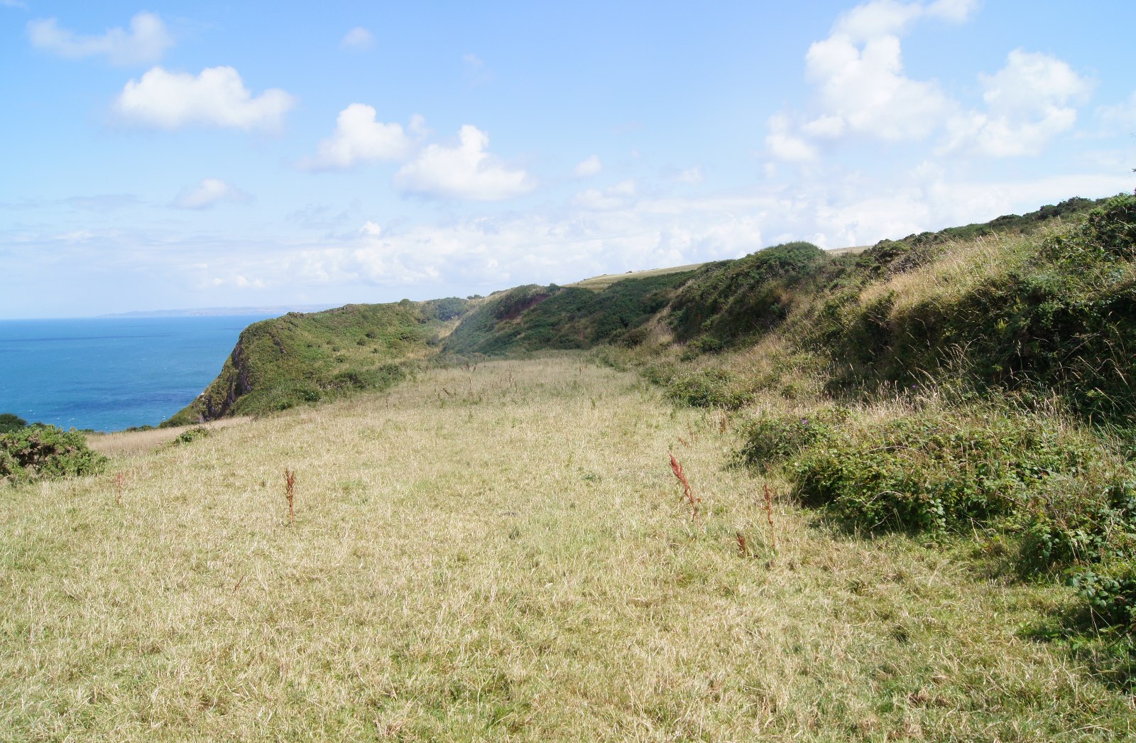 Field boundary in Killacolla (shanid By.)Field boundary · 1.0 mi
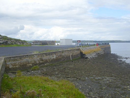 New Pierpier/jetty · 1.1 mi
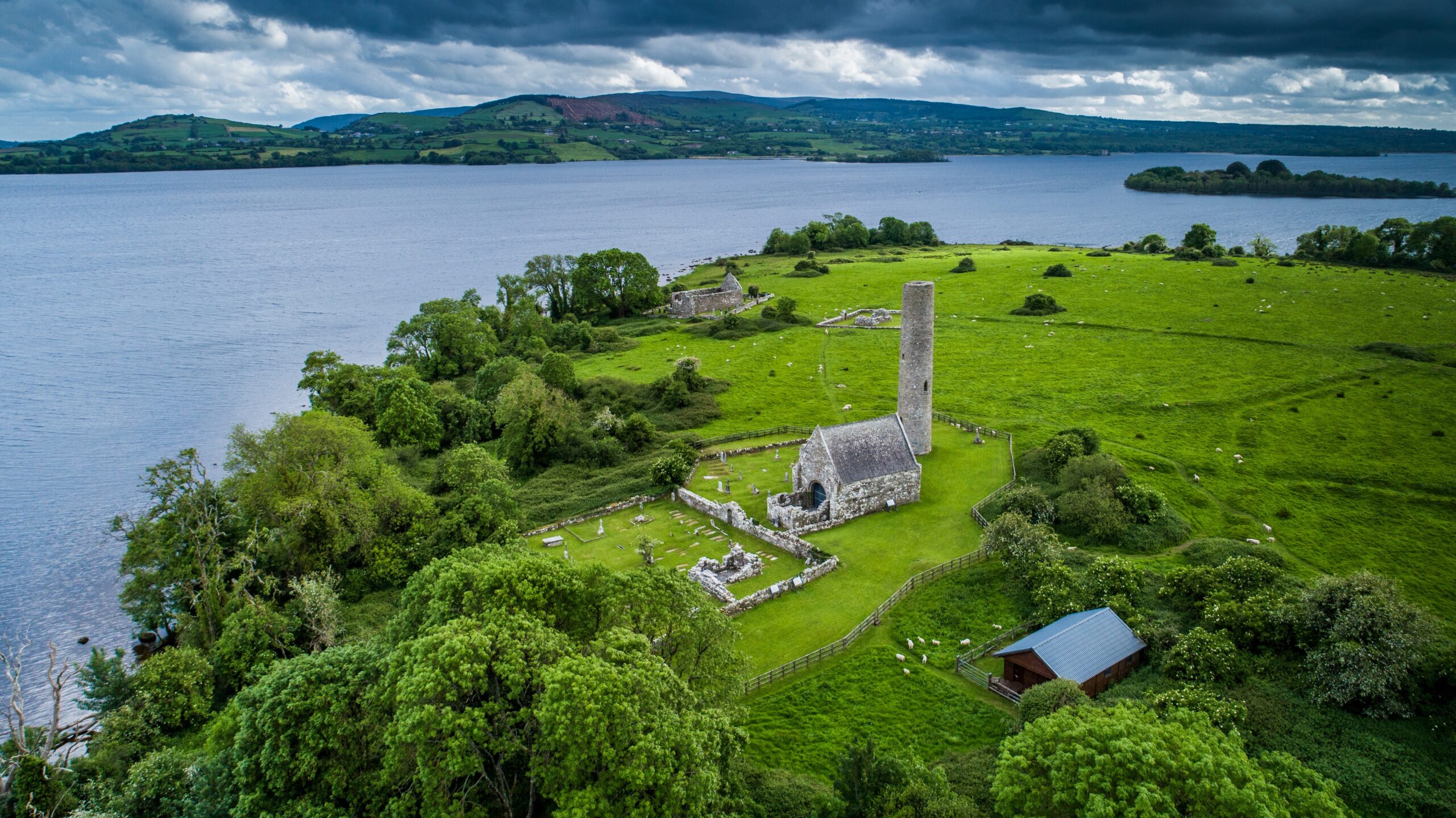 Castle (in Ruins)Castle, tower house · 1.4 mi
 Mountshannon PointHeadland · 1.4 mi
 Mountshannon WoodWood · 1.4 mi
 Killanna PointHeadland · 2.0 mi
 Mountshannon EstateHeritage attraction · 2.3 mi
 TobercloonaghSpring · 2.5 mi