
What is recorded here
In grassland, on S-facing slope. Roughly circular raised area (36m N-S; 40m E-W), enclosed by the poor remains of an earthen bank (H 0.3m).
The above description has been derived from D. Lavelle (compiler), An Archaeological Survey of Ballinrobe and District including Lough Mask and Lough Carra. Lough Mask and Lough Carra Tourist Development Association (1994), No. 173.
Date of upload: 24 January 2013
The monument record does not grant public access. Check the route and ask the landowner before entering private land.
- What survives
- Recorded monument
Places near here
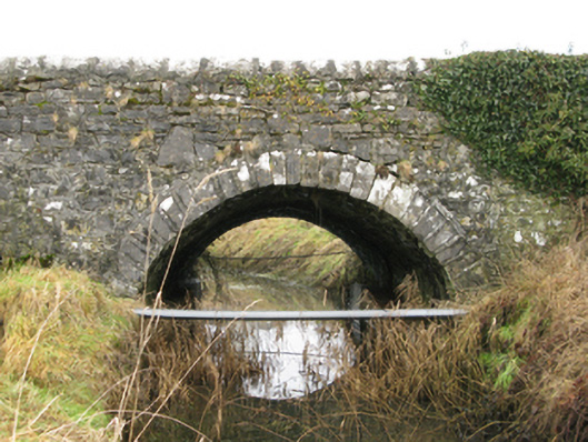 Ballyglass Bridgebridge · 663 yd
 Enclosure in Summerhill NorthEnclosure · 705 yd
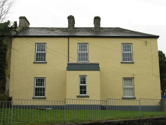 Ballyglass Garda Síochána Stationgarda station/constabulary barracks · 708 yd
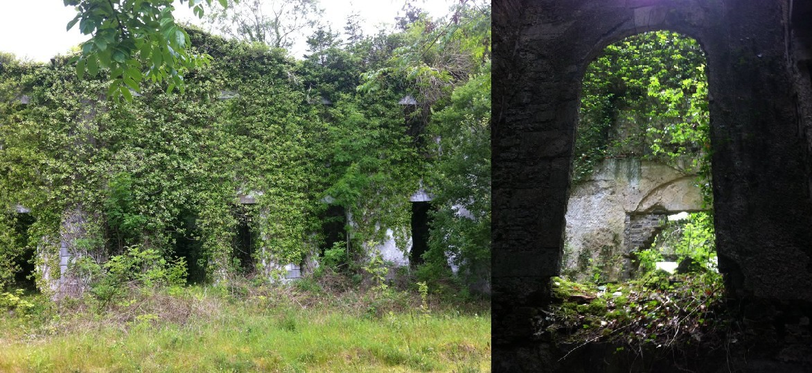 Enclosure in Towerhill DemesneEnclosure · 1.5 mi
 Bawn in BellanaloobBawn · 1.7 mi
 Castle LucasCastle · 2.3 mi
 Moore Hall Forest TrailWalking route · 3.4 mi
 Creevagh IslandIslet · 3.5 mi
 Connors IslandIslet · 3.6 mi
 Cerberus, from Thomastown HouseMemorial · 3.6 mi
 Moore Hall ForestForest · 3.6 mi
 Kiltoom PointHeadland · 3.8 mi
Other information
Photo: Credit not shown in the picture search · Rights wording not checked; contact us if this picture should be removed