
What is recorded here
In level tillage. Circular grass-covered earth and stone mound (11m N-S; 12m E-W; H 2.1m). West side sprawls outwards, possibly the result of quarrying. Known locally as "Lios". Flint scraper found nearby.
The above description is derived from the published 'Archaeological Inventory of County Cork. Volume 4: North Cork' (Dublin: Stationery Office, 2000). In certain instances the entries have been revised and updated in the light of recent research.
Date of upload/revision: 14 January 2009
A Bronze Age cairn or ring barrow; possibly a ritual or burial monument. Its local name "Lios" may indicate a possible later legendary or fairy tradition associated with the site.
The monument record does not grant public access. Check the route and ask the landowner before entering private land.
- What survives
- Recorded monument
Places near here
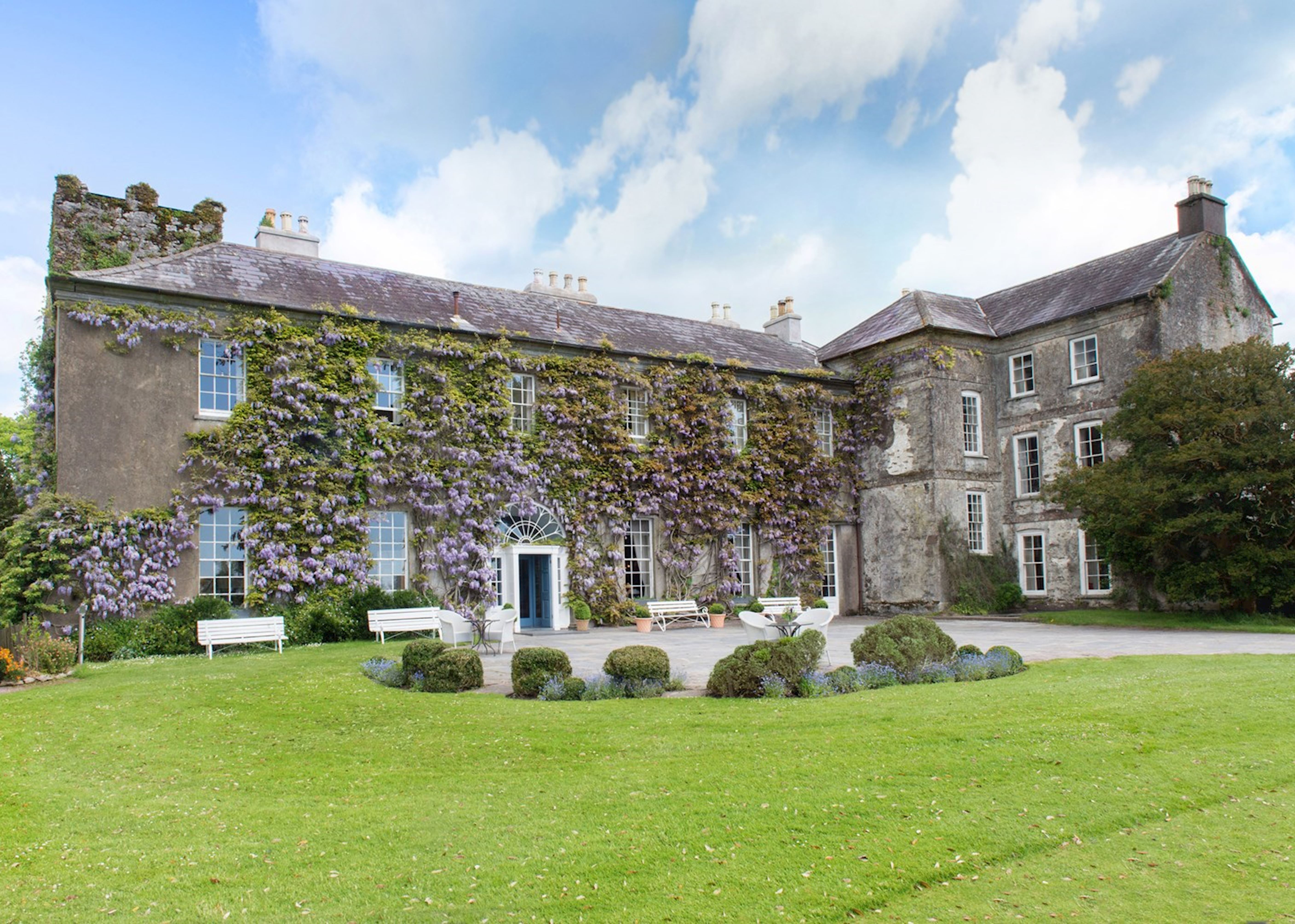 Enclosure in Ballyadeen,kilcummer UpperEnclosure · 338 yd
 Enclosure in BallyadeenEnclosure · 418 yd
 Glenanorefarmyard complex · 1358 yd
 Kilcummer BrBridge · 1400 yd
 Castle (in Ruins)Castle, unclassified · 1.4 mi
 Blackwater (Avondhu) WayWalking route · 1.8 mi
 Anne's Grove GardensHeritage attraction · 2.3 mi
 Priest's WoodForest · 2.4 mi
 Ballyhooly CastleCastle · 2.5 mi
 Johnson's WoodForest · 2.7 mi
 Knocknaskagh North TopMountain / peak · 3.4 mi
 Graveyard in BoherashGraveyard · 4.0 mi
Other information
Photo: Credit not shown in the picture search · Rights wording not checked; contact us if this picture should be removed