
What is recorded here
Located on a slight W-facing slope in the valley of N-S stream. The church (WX046-024001-) and graveyard (WX046-042003-) of Kilcowan are towards the E edge of a larger oval ecclesiastical enclosure (dims c. 160m E-W; c. 110m N-S) defined by field banks W-N-SE and the cropmark of a bank and outer fosse with a narrower inner drain SE-W, which are visible on aerial photographs (CUCAP, AVK 79, AYK 18). The field bank defining the perimeter of the enclosure has been removed SW-N. The motte (WX046-042002-) is just inside the perimeter of the enclosure at SW. Archaeological testing (12E0245) c. 70m E-SE of the graveyard and outside the ecclesiastical enclosure failed to produce any related material (Cleary 2012). See this web-page access on 15/03/2016: http://www.excavations.ie/report/2012/Wexford/0023608/
Compiled by: Michael Moore
Date of amended upload: 15 March, 2016
This remains an important historical record, but the official description says the monument is no longer visible or has been destroyed. The monument record does not grant public access. Check the route and ask the landowner before entering private land.
- What survives
- No visible remains or recorded as destroyed
Places near here
 Church (in ruins)Church · 31 yd
 IndicatedCastle, motte · 62 yd
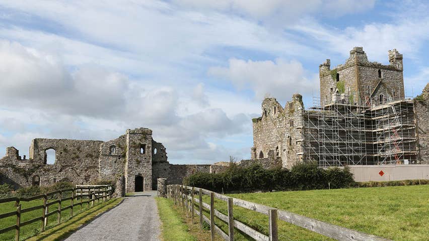 Castle (Site of)Castle, unclassified · 167 yd
 farm housefarm house · 398 yd
 Field system in Newhouse (bargy By.)Field system · 1432 yd
 Enclosure in RalphtownEnclosure · 1.0 mi
 Cull IslandIsland · 2.5 mi
 Ballyteigue BurrowNature reserve · 3.2 mi
 Ivan Sutton Art ExhibitionGallery · 3.9 mi
 Memorial Trail & Garden in Honour of Those Lost at SeaMemorial · 3.9 mi
 Whale boneHeritage attraction · 4.0 mi
 Kilmore Quay - Crehen Twinning MemorialMemorial · 4.0 mi
Other information
Photo: Credit not shown in the picture search · Rights wording not checked; contact us if this picture should be removed