What is recorded here
Indicated is a submerged crannog at the southwest end of Lough Conway, mapping a twenty-by-ten-metre island that water has since swallowed. The lake rises and falls across the hidden structure, revealing only a five-metre feature when clarity or depth aligns. It is not a defeated absence but a living boundary, marked and remembered through the water that keeps returning it.
Indicated as a small island (dims c. 20m N-S; c. 10m E-W) on the 1835 edition of OS 6-inch map at the SW end of Lough Conway (dims c. 400m NE-SW; c. 200m NW-SE). No feature is visible at ground level in an area which is regularly flooded, although a small feature (diam. c. 5m) is sometimes visible above the water.
The above description is derived from 'The Archaeological Inventory of County Leitrim' compiled by Michael J. Moore (Dublin: Stationery Office, 2003). In certain instances the entries have been revised and updated in the light of recent research.
Date of upload: 23 September 2008
The monument record does not grant public access. Check the route and ask the landowner before entering private land.
- What survives
- Recorded monument
Places near here
 Fairy fort / stone ringfort in AghakilmoreFairy fort / stone ringfort · 784 yd
 Enclosure in LoughconwayEnclosure · 874 yd
 bridgebridge · 1753 yd
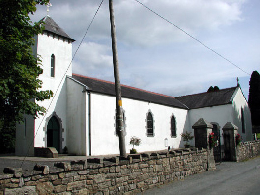 Saint Brigid's Catholic Churchchurch/chapel · 1.3 mi
 Sheemore Ambush MemorialMonument · 1.4 mi
 Leabaidh DermotCave · 1.5 mi
 Rusheen IslandIslet · 1.8 mi
 Castle JohnCastle · 2.0 mi
 Small IslandIslet · 2.0 mi
 Shannon-Erne WaterwayVisitor information · 3.2 mi
 Sit of Breifny CastleCastle, tower house · 3.2 mi
 Battle of Áth an Chipbattle · 3.6 mi