
What is recorded here
Indicated is an enclosure, large enclosure in Kilcash, County Roscommon, Ireland. It occupies the bottom of a gentle NE-facing slope of Moydow Hill as a D-shaped grass-covered area with a straight NW side and earthen bank. Two other raths stand nearby, one 175m to the WSW and another 200m to the NW. No fosse or original entrance remains visible.
Towards the bottom of a gentle NE-facing slope of Moydow Hill. This is a D-shaped grass-covered area (dims 63.5m ENE-WSW; 56.5m NNW-SSE) defined by an earthen bank (Wth 3.4-4.1m; int. H 0.95m; ext. H 0.75-1.15m) with the straight side at NW. There is no visible fosse or identifiable original entrance. Rath (RO042-051----) is c. 175m to the WSW and rath (RO042-025----) is c. 200m to the NW.
Compiled by: Michael Moore
Date of upload: 24 August 2010
The monument record does not grant public access. Check the route and ask the landowner before entering private land.
- What survives
- Recorded monument
Places near here
 IndicatedFairy fort / earthen ringfort · 267 yd
 Embanked enclosureFairy fort / earthen ringfort · 693 yd
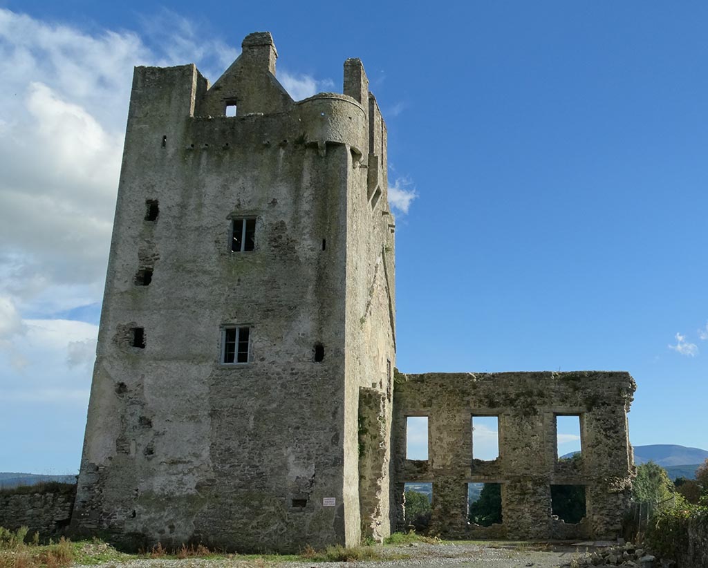
 CastleCastle, unclassified · 1746 yd
 Mote Parkdemesne walls/gates/railings · 1.2 mi
 Church in SkrineChurch · 1.4 mi
 Ballymurray ForestForest · 1.5 mi
 TogherfinnForest · 1.5 mi
 Hangman's HillMountain / peak · 1.7 mi
 Galey CastleCastle, tower house · 2.9 mi
 Galey BayBay · 3.2 mi
 Cruit BayBay · 3.6 mi
 Sedgy IslandIslet · 4.2 mi
Other information
Photo: Credit not shown in the picture search · Rights wording not checked; contact us if this picture should be removed