What is recorded here
Indicated is a lost circular enclosure in County Mayo, mapped in 1887 but erased from later charts and ground. It stood beside a small settlement and a southern road, large enough to hold people, animals or secrets, yet it vanished without a ridge or story to mark its edges. The field still carries the name Caisleen, preserving a shape no longer visible.
In pasture, located on a slight rise. Shown on the 1887 edition OS 6-inch map as a circular embanked enclosure (diam. 15-20m), with a cluster of vernacular buildings/houses immediately to N, and a road, which leads S from this settlement, passing immediately to E of the enclosure. It is not shown on later map editions. There is no visible trace at ground level. According to local information, the field is named ‘Caisleen’. There is another enclosure (MA062-091----) c. 60m to S.
Compiled by: Jane O’Shaughnessy
Date of upload: 9 December 2020
This remains an important historical record, but the official description says the monument is no longer visible or has been destroyed. The monument record does not grant public access. Check the route and ask the landowner before entering private land.
- What survives
- No visible remains or recorded as destroyed
Places near here
 IndicatedFairy fort / earthen ringfort · 210 yd
 ToberbrideHoly well · 1050 yd
 Brabazon WoodsForest · 1311 yd
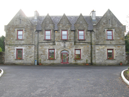 Swinford Union Workhouseworkhouse · 1592 yd
 handball alleyhandball alley · 1664 yd
 Procession Of The SoulsMemorial · 1692 yd
 Youth Memorial GardenMemorial · 1.2 mi
 HawthornHawthorn · 3.2 mi
 Thorn CaveCave · 3.4 mi
 Castle (in Ruins)Castle, unclassified · 3.5 mi
 Hennigan's Heritage CentreHeritage attraction · 3.6 mi
 Kiltimagh MuseumMuseum · 6.6 mi