
What is recorded here
Indicated is a sub-circular ecclesiastical enclosure beside the Dirty River in County Cork, preserving the ruined Kilbarry church and a holy well within its hundred-metre boundary. The scarp, roadway and earthen fences still mark the sacred ground where people once gathered to pray, bury their dead and draw water for healing. What is absent is visible in the shape itself: a small world set apart from the tillage, waiting to be remembered.
In tillage, on S bank of Dirty River. Sub-circular area (diam. c. 100m) defined by roadway to S; earthen field fence to E and W; scarp to N. Kilbarry church (in ruins) (CO107-04603-) and graveyard (CO107-04602-) in S half of interior. Holy well (CO107-04604-) lies 30m NE of enclosure.
The above description is derived from the published 'Archaeological Inventory of County Cork. Volume 1: West Cork' (Dublin: Stationery Office, 1992). In certain instances the entries have been revised and updated in the light of recent research.
Date of upload/revision: 14 January 2009
The monument record does not grant public access. Check the route and ask the landowner before entering private land.
- What survives
- Recorded monument
Places near here
 TobernadihyHoly well · 98 yd
 Woodbrookcountry house · 629 yd
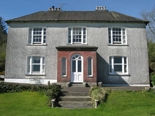 Manor Househouse · 720 yd
 Castle (Site of)Castle, Anglo-Norman masonry castle · 1149 yd
 Man-made underground passage in Kilbarry (carbery East (w.d) By.)Man-made underground passage · 1342 yd
 Dunmanway Heritage CentreVisitor information · 1645 yd
 Graveyard in Dunmanway NorthGraveyard · 1.4 mi
 Mohona WoodWood · 1.4 mi
 Mount GunneryMountain / peak · 2.0 mi
 Funmanway Adventure LandHeritage attraction · 2.2 mi
 Graveyard in ToughmacdermodyGraveyard · 3.3 mi
 Milane HillMountain / peak · 3.3 mi
Other information
Photo: Credit not shown in the picture search · Rights wording not checked; contact us if this picture should be removed