
What is recorded here
In tillage, on S bank of Dirty River. Sub-circular area (diam. c. 100m) defined by roadway to S; earthen field fence to E and W; scarp to N. Kilbarry church (in ruins) (CO107-04603-) and graveyard (CO107-04602-) in S half of interior. Holy well (CO107-04604-) lies 30m NE of enclosure.
The above description is derived from the published 'Archaeological Inventory of County Cork. Volume 1: West Cork' (Dublin: Stationery Office, 1992). In certain instances the entries have been revised and updated in the light of recent research.
Date of upload/revision: 14 January 2009
The monument record does not grant public access. Check the route and ask the landowner before entering private land.
- What survives
- Recorded monument
Places near here
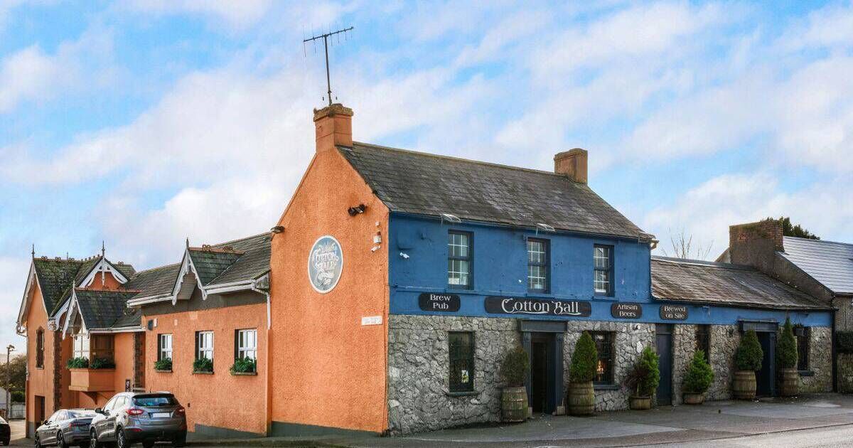 TobernadihyHoly well · 98 yd
 Woodbrookcountry house · 629 yd
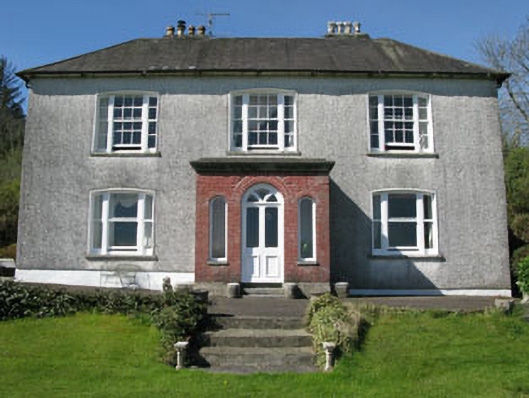 Manor Househouse · 720 yd
 Castle (Site of)Castle, Anglo-Norman masonry castle · 1149 yd
 Man-made underground passage in Kilbarry (carbery East (w.d) By.)Man-made underground passage · 1342 yd
 Dunmanway Heritage CentreVisitor information · 1645 yd
 Graveyard in Dunmanway NorthGraveyard · 1.4 mi
 Mohona WoodWood · 1.4 mi
 Mount GunneryMountain / peak · 2.0 mi
 Funmanway Adventure LandHeritage attraction · 2.2 mi
 Graveyard in ToughmacdermodyGraveyard · 3.3 mi
 Milane HillMountain / peak · 3.3 mi
Other information
Photo: Credit not shown in the picture search · Rights wording not checked; contact us if this picture should be removed