What is recorded here
In the gently rolling grassland of the demesne of Jenkinstown House (KK014-007----). This is indicated as an oval tree-ring (dims. c. 61m NE-SW; c. 48m NW-SE) on the 1946-7 revision of the 6-inch OS map. It is visible as a cropmark on aerial photographs (CUCAP BOD020-BOD021, 10 July 1973). It is not visible at ground level.
Compiled by: Jean Farrelly
Date of upload: 11 May 2020
The monument record does not grant public access. Check the route and ask the landowner before entering private land.
- What survives
- Recorded monument
Places near here
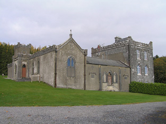 Jenkinstown Housechurch/chapel · 436 yd
 Jenkinstown ParkForest · 686 yd
 Church in JenkinstownChurch · 934 yd
 Enclosure in Kirwan's InchEnclosure · 1030 yd
 Enclosure in Springhill (fassadinin By.)Enclosure · 1041 yd
 Saint Coleman's WellSpring · 1103 yd
 Trinity WellSpring · 1332 yd
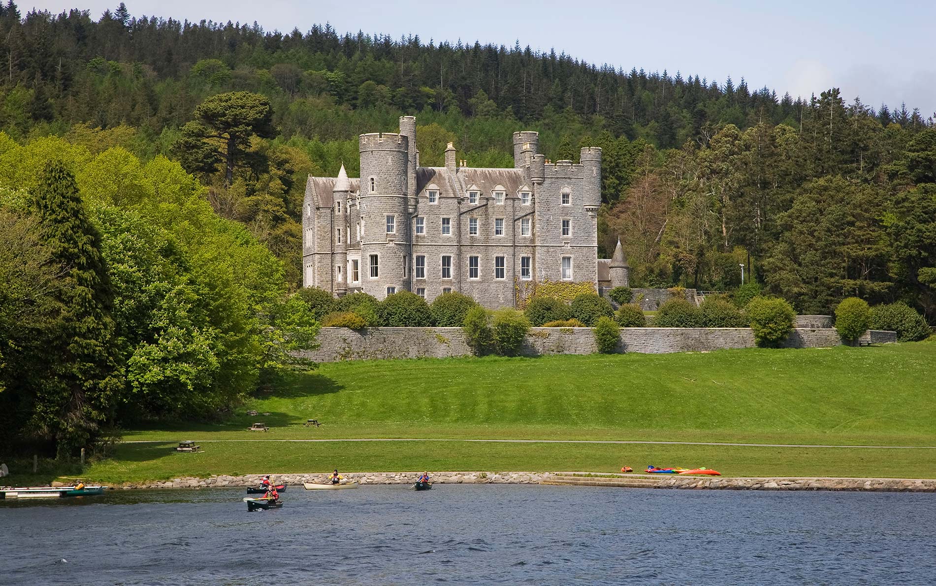 CastleCastle, unclassified · 1537 yd
 Ardaloo Castle (in ruins)Castle, unclassified · 1.3 mi
 Mohil GraveyardArchaeological place · 1.6 mi
 Graveyard in ThreecastlesGraveyard · 1.7 mi
 Turkey OakTurkey Oak · 1.7 mi