What is recorded here
Located in the SE quadrant of an ecclesiastical enclosure (SL011-011001-), known as ‘The Cashel’.
Indicated as ‘Altarbeg’ on the OS 6-inch maps, this small regular leacht measures 1.7 m NW/SE by 1.2 m and is 0.65 m high. The sides are formed of small and medium flat stones brought to even courses. The surface features small stony rubble as well as larger flat stones, including several small, undecorated, rounded beach cobbles or ‘cursing stones’.
A cross slab (SL001-001020-) was taken from this leacht to the OPW store house/Schoolhouse in 1989.
The above description is derived from the results of a survey of the archaeological monuments on Inishmurray undertaken in 1997-1999 and published in:
Jerry O’Sullivan and Tomás Ó Carragáin 2008 Inishmurrary. Monks and pilgrims in an Atlantic landscape. Volume 1: Archaeological Survey and Excavations 1997-2000. Cork. The Collins Press.
Date of upload: 16 January 2018
Linked to Saint Muireadhach, Inishmurray is traditionally associated with early Christian monastic activity in the region. The site's name, derived from "Inis Mhuirí," reflects its connection to Saint Murray, a 6th-century monk believed to have founded a monastery there, though the well itself is not specifically mentioned in historical accounts of cures or rituals.
The monument record does not grant public access. Check the route and ask the landowner before entering private land.
- What survives
- Recorded monument
Places near here
 Teampull Molaise, TeampullnabarChurch · 13 yd
 St Molaises ChapelChurch · 34 yd
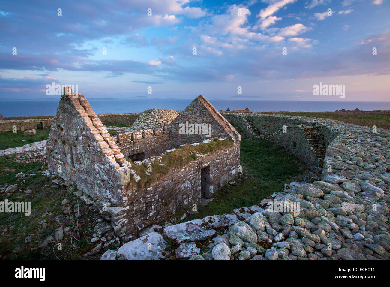 Inishmurray Island Monastic SiteHeritage attraction · 39 yd
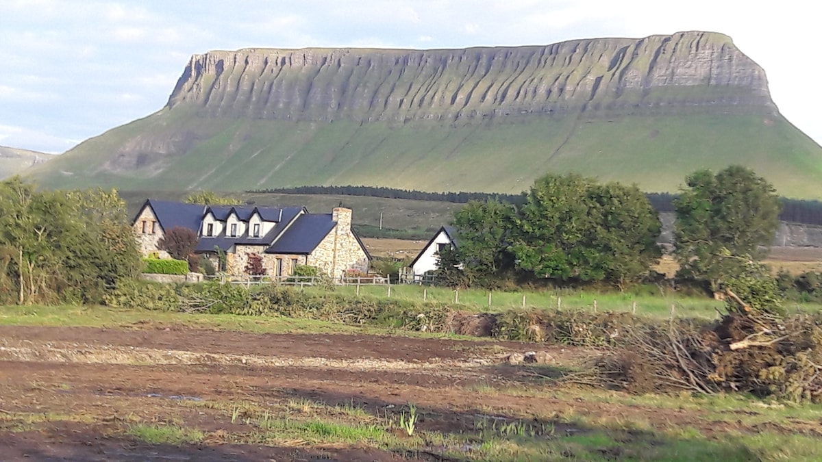 Laghta ColumbkilleLeacht · 101 yd
 Enclosure in InishmurrayEnclosure · 118 yd
 InishmurrayIsland · 165 yd
 Streedagh BeachVisitor information · 4.3 mi
 de Cuellar Armada MonumentMemorial · 4.4 mi
 Connors IslandIsland · 5.4 mi
 Bawn in DoonforeBawn · 5.7 mi
 Knocklane CastleRuins · 5.8 mi
 Upperglen WoodForest · 6.1 mi