What is recorded here
Indicated, Inchmore is a large rectangular bawn on a slight terrace beside the River Nore in County Kilkenny, belonging to the Grace family. Its ragged walls still stand about two metres high, with gates in three sides and a passage leading toward a bridge. The castle and house in the middle have vanished from ground level, leaving only a wide empty chamber where their shadows may still move when the river fog comes in.
On the fairly flat floor of the Nore river valley, on a slight terrace c. 1m above the flood plain and c. 40m W of the River Nore. According to O’Kelly (1969, 12) this property was owned by the Grace family. The castle (KK009-002001-) and house (KK009-002002-) which stood in the middle of the large bawn are no longer visible at ground level. An antiquarian sketch, viewed from the SE, shows the SE angle of the bawn with a round-arched entrance gate towards the S end of the E wall and though the top of the wall is ragged there is a suggestion of crenelation (Lightbrown 1985, 168). The bawn is roughly rectangular, tapering towards the S (dims. 172m N-S on E side; 184m NNW-SSE on W side; 77m E-W on N side; 60m E-W on S side) and constructed of roughly coursed masonry. Much of the wall (T c. 0.65m) survives to a height of c. 2m, especially in the SE portion. There are gates in E, S, and W walls. The E gate connects to what was once a walled passage to a bridge (KK009-002006-) over the River Nore. In the SE angle the walls of the bawn appear to have incorporated a building which was defended at ground-floor level by a series of square musket loops. There are no other loops visible in the rests of the bawn.
Compiled by: Jean Farrelly
Date of upload: 21 June 2016
The castle at Inchmore was owned by the Grace family, according to O’Kelly (1969). Its location in the Nore river valley highlights its potential strategic and agricultural significance in the medieval period.
The monument record does not grant public access. Check the route and ask the landowner before entering private land.
- What survives
- Recorded monument
Places near here
 CastleCastle, unclassified · 1 yd
 IndicatedBridge · 85 yd
 Enclosure in Clintstown (fassadinin By.)Enclosure · 427 yd
 Castle (in Ruins)Castle, tower house · 829 yd
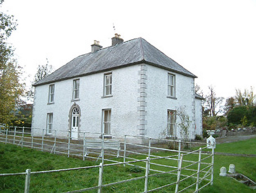 Lismaine Housefarm house · 904 yd
 Enclosure in Cooleeshal MoreEnclosure · 1455 yd
 Graveyard in ThreecastlesGraveyard · 1.9 mi
 Turkey OakTurkey Oak · 2.2 mi
 Emma Jane Browne-ClaytonMemorial · 2.2 mi
 Red horse-chestnutRed horse-chestnut · 2.2 mi
 Freshford LoopWalking route · 2.7 mi
 Anker's IslandIsland · 5.3 mi