What is recorded here
On a gentle W-facing slope in tillage, with a motte (KD004-017----) c. 40m to the N. The interior contains a possible church site (KD004-018002-), and incorporates the W limits of a later graveyard (KD004-018003-). A C-shaped area (dims. 47.5m N-S; traceable L 29 E-W), open to the E, is defined by a low, broad, inner earthen bank (Wth 5.1-5.5m; int. H 0.2-0.4m; ext. H 0.8m) and by a shallow, flat-bottomed, outer fosse (Wth 2m; D 0.4m), both of which are truncated by ploughing at S. (It's possible that this feature is part of an 'outer' bailey associated with the motte (KD004-017----) c. 25m to the N, however its orientation 'away' from the motte might suggest otherwise.)
Compiled by: Gearóid Conroy
Date of upload: 10 June 2011
The monument record does not grant public access. Check the route and ask the landowner before entering private land.
- What survives
- Recorded monument
Places near here
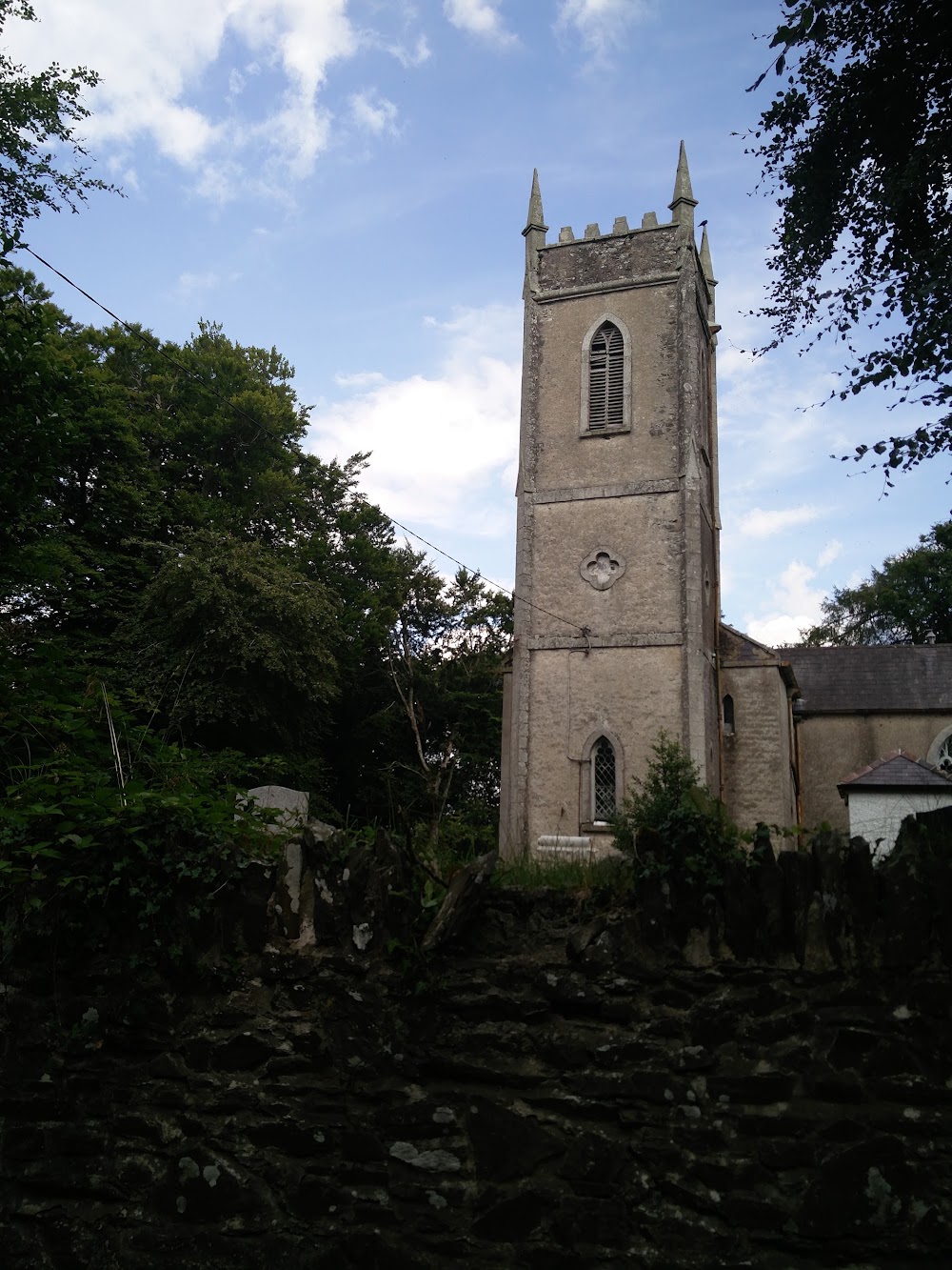 Church in HortlandChurch · 1 yd
 MoatCastle, motte · 75 yd
 water pumpwater pump · 1057 yd
 Ovidstown RathEnclosure · 1485 yd
 IndicatedFairy fort / earthen ringfort · 1.0 mi
 The Grill ShackHeritage attraction · 1.5 mi
 9/11 MemorialMemorial · 2.4 mi
 Site of Dunfierth CastleCastle, unclassified · 2.5 mi
 Donadea Forest ParkVisitor information · 2.6 mi
 Old Bog Road made famous by Teresa Bryton 1868-1943Memorial · 3.3 mi
 Loughtown CovertWood · 3.8 mi
 European ashEuropean ash · 3.9 mi