What is recorded here
Situated on a broad NE-SW ridge with a slight slope down to the SW at this point. It is depicted as an oval tree clump on the 1834 edition of the OS 6-inch map and as a circular enclosure described as Mullaghmee Clump on the 1907 edition. This is a circular grass-covered area (diam. c. 40m) defined by an earthen bank (Wth c. 5m; int. H c. 0.2-0.4m; ext. H c. 1m), with slight traces of a fosse at N. An original entrance is not identified. It has been adapted as a tree-ring and is planted with mature deciduous trees.
Compiled by: Michael Moore
Date of upload: 8 May, 2018
The monument record does not grant public access. Check the route and ask the landowner before entering private land.
- What survives
- Recorded monument
Places near here
 Mullaghmoe ClumpWood · 5 yd
 European ashEuropean ash · 114 yd
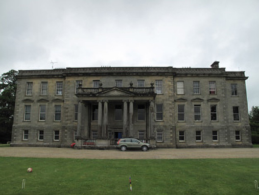 Hilton Parkcountry house · 760 yd
 IndicatedFairy fort / earthen ringfort · 832 yd
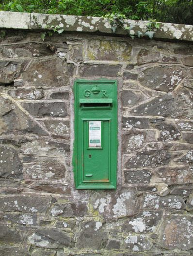 post boxpost box · 875 yd
 Embanked enclosureFairy fort / earthen ringfort · 1418 yd
 SandhillsMountain / peak · 2.0 mi
 LattacrossanMountain / peak · 2.3 mi
 Ulster Canal Stores Visitor CentreHeritage attraction · 2.6 mi
 The Cassandra Hand CentreMuseum · 2.8 mi
 CastleCastle, motte and bailey · 2.8 mi
 Saint John's WellSpring · 3.8 mi